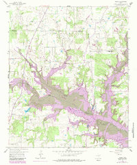
1958 Map of Arbala
USGS Topo · Published 1984About this map
Lake Fork Reservoir dominates this landscape along the borders of Rains, Hopkins, and Wood counties, shown here during a significant period of transition. Purple hatching delineates the Planned Normal Pool, indicating the extensive areas destined to be submerged as the reservoir was developed. This shift from creek-bottom farmland to a major water body is captured in the overlay of original topography and the projected shoreline.
Find a feature on this map
41 named features on this map. Tap any name to fly to it.
Don’t see what you’re looking for? This feature index may not catch every label — zoom into the map to look around manually.
Map Details
Editions of this 1958 Arbala Map
4 editions found
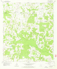
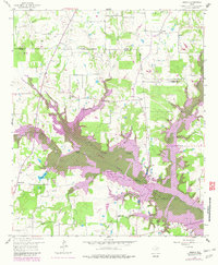
Other maps of this area

1953 · Texarkana
USGS Topo · 1:250,000

1956 · Texarkana
USGS Topo · 1:250,000

1956 · Tyler
USGS Topo · 1:250,000

1956 · Emory
USGS Topo · 1:62,500

1958 · Arbala
USGS Topo · 1:24,000

1958 · Alba
USGS Topo · 1:24,000

1959 · Calvary
USGS Topo · 1:24,000

1959 · Yantis
USGS Topo · 1:24,000

1959 · Alba
USGS Topo · 1:62,500

1962 · Miller Grove
USGS Topo · 1:24,000