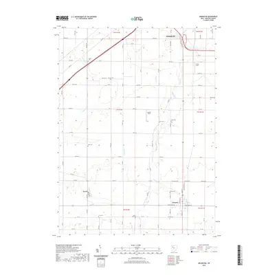
2019 Map of Arlington
USGS Topo · Published 2019About this map
Arlington and the smaller village of Jenera anchor this survey of southern Hancock County, documenting a landscape defined by organized agricultural plots and small-town expansion. The drainage of the land is meticulously captured through the winding courses of Eagle Creek, Aurand Run, and Tiderishi Cr, which cut through the gridded township and range system. For local historians and genealogists, the map provides a remarkable density of burial grounds, including family and community sites like Powell Cemetery, Hartman Cemetery, and Bishop Cemetery. The transition from rural homesteads to the fringes of Findlay in the north is visible, alongside specialized transport sites like Ferrell Airport and Schaller Airport. This modern survey preserves the spatial relationship between historic religious sites such as Trinity Cemetery and the township roads that have served these communities for generations.
Find a feature on this map
86 named features on this map. Tap any name to fly to it.
Don’t see what you’re looking for? This feature index may not catch every label — zoom into the map to look around manually.
Map Details
Editions of this 2019 Arlington Map
This is the sole edition of this map. No revisions or reprints were ever made.
Other maps of this area

1903 · Findlay
USGS Topo · 1:62,500

1905 · Arlington
USGS Topo · 1:62,500

1907 · Bluffton
USGS Topo · 1:62,500

1907 · Arlington
USGS Topo · 1:24,000

1950 · Marion
USGS Topo · 1:250,000

1956 · Toledo
USGS Topo · 1:250,000

1960 · Rawson
USGS Topo · 1:24,000

1960 · Arlington
USGS Topo · 1:24,000
1960 · Findlay
USGS Topo · 1:24,000

1960 · Mt Blanchard
USGS Topo · 1:24,000