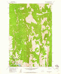
1958 Map of Arsenic Peak
USGS Topo · Published 1960About this map
Arsenic Peak towers over a landscape defined by the intersection of mountain geography and early 20th-century resource management. Located within the Lewis and Clark National Forest and the Sun River Game Preserve, this terrain reveals the early infrastructure of the South Fork Sun River valley. The map details the impact of water management, showing the Gibson Reservoir and Reclamation Flats, alongside human outposts like the Sorrell Guest Resort and K L Ranch. Numerous pack trails crisscross the ridges, connecting points such as Sheep Reef and The Bars, indicating the era's reliance on trail networks for access to the backcountry. The inclusion of Medicine Springs and the Gaging Station further highlights the focus on the natural and hydrologic resources of this Montana wilderness.
Find a feature on this map
35 named features on this map. Tap any name to fly to it.
Don’t see what you’re looking for? This feature index may not catch every label — zoom into the map to look around manually.
Map Details
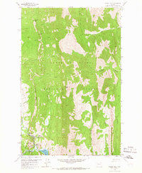
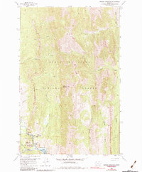
Editions of this 1958 Arsenic Peak Map
3 editions found
Other maps of this area

1903 · Saypo
USGS Topo · 1:125,000

1955 · Choteau
USGS Topo · 1:250,000

1957 · Choteau
USGS Topo · 1:250,000

1958 · Choteau
USGS Topo · 1:250,000

1958 · Ear Mountain
USGS Topo · 1:24,000

1958 · Our Lake
USGS Topo · 1:24,000

1958 · Sawtooth Ridge
USGS Topo · 1:24,000

1958 · Glenn Creek
USGS Topo · 1:24,000

1958 · Pretty Prairie
USGS Topo · 1:24,000

1958 · Gates Park
USGS Topo · 1:24,000