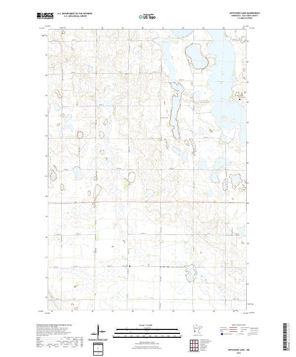
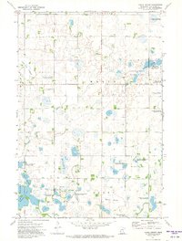
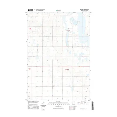
2022 Map of Artichoke Lake
USGS Topo · Published 2022About this map
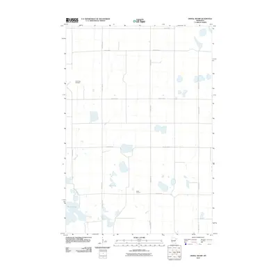
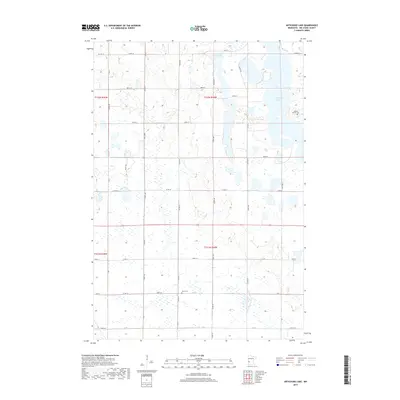
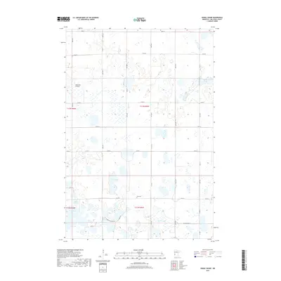
Artichoke Lake and Long Lake dominate this prairie landscape in Big Stone County, where a dense network of glacial wetlands and depressions defines the local geography. The map reveals a strictly organized section-line road grid, including Co Hwy 14 and 600th Ave, which serves the agricultural lands surrounding the lakes. Small, localized landmarks provide vital clues for family historians, such as the Johnson Family Cem located near the eastern shore of Artichoke Lake and the Akron Cem situated further south along 440th St. This area, organized under townships such as t122n r44w, maintains a traditional rural character where the natural hydrology of the basin continues to dictate the placement of transportation routes and property boundaries.
Find a feature on this map
34 named features on this map. Tap any name to fly to it.
Don’t see what you’re looking for? This feature index may not catch every label — zoom into the map to look around manually.
Map Details
Editions of this 2022 Artichoke Lake Map
This is the sole edition of this map. No revisions or reprints were ever made.
Historical Maps of Big Stone County Through Time
24 maps found
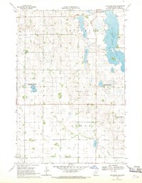
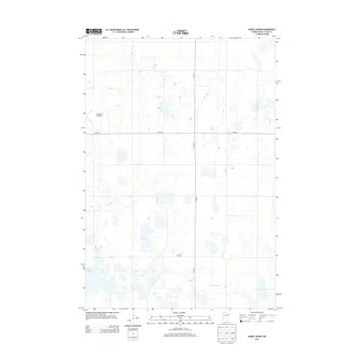
1968 Artichoke Lake
Big Stone County, MN
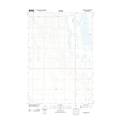
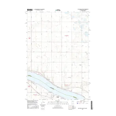
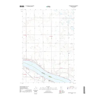
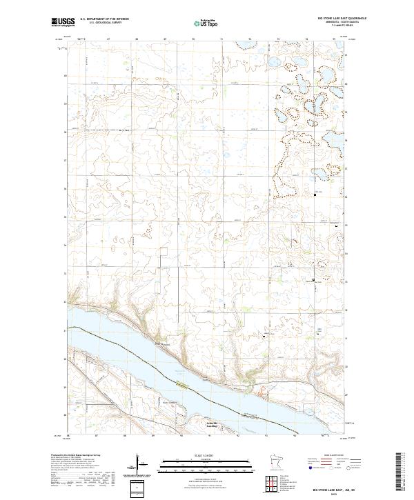
1971 Big Stone Lake East
Big Stone County, MN
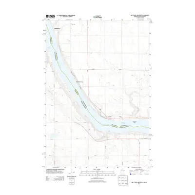
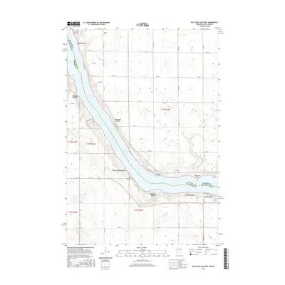
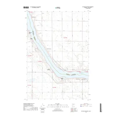
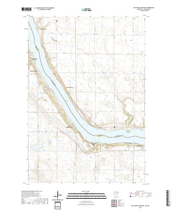
1971 Big Stone Lake West
Big Stone County, MN
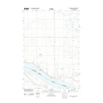
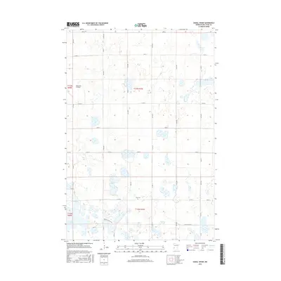
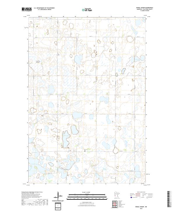
1971 Dismal Swamp
Big Stone County, MN
2010 Artichoke Lake
Big Stone County, MN
2010 Big Stone Lake East
Big Stone County, MN
2010 Big Stone Lake West
Big Stone County, MN
2010 Dismal Swamp
Big Stone County, MN
2013 Artichoke Lake
Big Stone County, MN
2013 Big Stone Lake East
Big Stone County, MN
2013 Big Stone Lake West
Big Stone County, MN
2013 Dismal Swamp
Big Stone County, MN
2016 Artichoke Lake
Big Stone County, MN
2016 Big Stone Lake East
Big Stone County, MN
2016 Big Stone Lake West
Big Stone County, MN
2016 Dismal Swamp
Big Stone County, MN
2019 Artichoke Lake
Big Stone County, MN
2019 Big Stone Lake East
Big Stone County, MN
2019 Big Stone Lake West
Big Stone County, MN
2019 Dismal Swamp
Big Stone County, MN
2022 Artichoke Lake
Big Stone County, MN
2022 Big Stone Lake East
Big Stone County, MN
2022 Big Stone Lake West
Big Stone County, MN
2022 Dismal Swamp
Big Stone County, MN