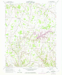
1961 Map of Ash Ridge
USGS Topo · Published 1975About this map
Brown County farmland and rural settlements are the focus of this mid-century topographic record, which also includes purple photorevisions from 1974. The sprawling Lake Waynoka dominates the eastern landscape, its many finger-like coves contrasting with the established agricultural grid. These revisions illustrate the growth of leisure and residential water-frontage in a region historically defined by its creek valleys, including Straight Creek and Honey Run.
Find a feature on this map
92 named features on this map. Tap any name to fly to it.
Don’t see what you’re looking for? This feature index may not catch every label — zoom into the map to look around manually.
Map Details
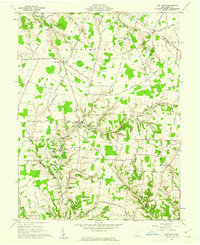
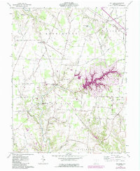
Editions of this 1961 Ash Ridge Map
Other maps of this area

1917 · Hillsboro
USGS Topo · 1:62,500

1917 · Sardinia
USGS Topo · 1:62,500

1918 · Seaman
USGS Topo · 1:62,500

1928 · Higginsport
USGS Topo · 1:48,000

1931 · Higginsport
USGS Topo · 1:62,500

1944 · Hillsboro
USGS Topo · 1:62,500

1944 · Sardinia
USGS Topo · 1:62,500

1947 · Columbus
USGS Topo · 1:250,000

1952 · Higginsport
USGS Topo · 1:24,000

1957 · Huntington
USGS Topo · 1:250,000