
1950 Map of Ashland
USGS Topo · Published 1952About this map
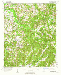
Ashland stands as the central hub of this northern Mississippi survey, situated amidst a landscape of timbered uplands and the winding headwaters of the Wolf River. Much of the southern half of the quadrangle is defined by the Holly Springs National Forest, where smaller settlements like Whitten Town and Bluff Springs occupy clearings between the creek bottoms. The northern border follows the Tennessee Mississippi state line, where the Illinois Central Railroad cuts through Michigan City, a critical transit point for the region’s timber and agricultural goods.
Find a feature on this map
103 named features on this map. Tap any name to fly to it.
Don’t see what you’re looking for? This feature index may not catch every label — zoom into the map to look around manually.
Map Details
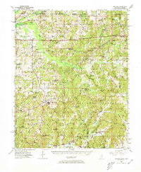
Editions of this 1950 Ashland Map
3 editions found
Other maps of this area

1944 · Potts Camp
USGS Topo · 1:62,500

1945 · Potts Camp
USGS Topo · 1:62,500

1949 · Moscow
USGS Topo · 1:62,500

1950 · Middleton
USGS Topo · 1:24,000

1950 · Grand Junction
USGS Topo · 1:24,000

1951 · Middleton
USGS Topo · 1:24,000

1951 · Grand Junction
USGS Topo · 1:24,000

1951 · Walnut
USGS Topo · 1:62,500

1952 · Saulsbury
USGS Topo · 1:24,000

1953 · Holly Springs
USGS Topo · 1:62,500