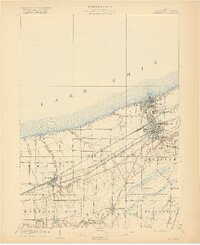
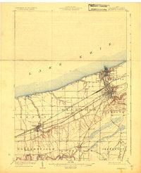
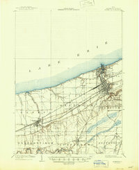
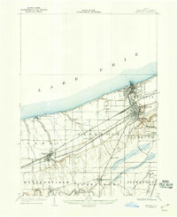
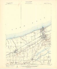
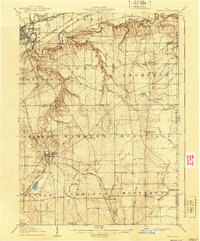
1905 Map of Ashtabula
USGS Topo · Published 1917About this map
Lake Erie defines the northern edge of this Lake County landscape, where the bustling port of Ashtabula meets the industrial rail corridors of the early twentieth century. The map highlights a complex transportation network, including the Lake Shore and Michigan Southern and the Pennsylvania System, which converge at the lakefront to serve the busy districts of Harbor and Sweden. This intersection of rail and water transit illustrates the region's role as a major transshipment point for iron ore and coal during Ohio’s industrial peak.
Find a feature on this map
33 named features on this map. Tap any name to fly to it.
Don’t see what you’re looking for? This feature index may not catch every label — zoom into the map to look around manually.
Map Details
Editions of this 1905 Ashtabula Map
5 editions found
Other maps of this area

1904 · Chardon
USGS Topo · 1:62,500
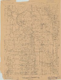
1905 · Andover
USGS Topo · 1:48,000
1905 · Ashtabula
USGS Topo · 1:62,500
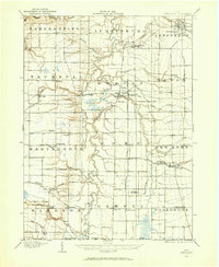
1905 · Perry
USGS Topo · 1:62,500
1905 · Jefferson
USGS Topo · 1:62,500
1906 · Chardon
USGS Topo · 1:62,500

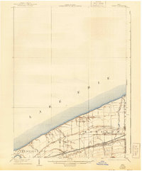
1906 · Conneaut
USGS Topo · 1:62,500
1907 · Andover
USGS Topo · 1:62,500
1907 · Jefferson
USGS Topo · 1:62,500

1950 · Cleveland
USGS Topo · 1:250,000