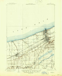
1905 Map of Ashtabula
USGS Topo · Published 1945About this map
Lake Erie defines the northern edge of this Lake County landscape, where the bustling Harbor at Ashtabula serves as a critical junction for the region's massive rail network. Surveyed at the turn of the century, the map reveals a dense industrial and transport corridor featuring the Lake Shore and Michigan Southern and the New York Chicago and St Louis railroads. These lines parallel the shoreline, connecting established inland centers like Geneva and Saybrook to the maritime activity at the mouth of the Ashtabula River.
Find a feature on this map
33 named features on this map. Tap any name to fly to it.
Don’t see what you’re looking for? This feature index may not catch every label — zoom into the map to look around manually.
Map Details
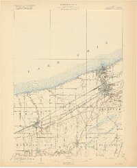
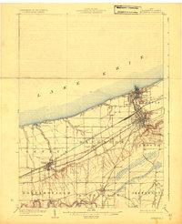
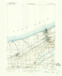
Editions of this 1905 Ashtabula Map
5 editions found
Other maps of this area

1904 · Chardon
USGS Topo · 1:62,500

1905 · Andover
USGS Topo · 1:48,000

1905 · Ashtabula
USGS Topo · 1:62,500

1905 · Perry
USGS Topo · 1:62,500

1905 · Jefferson
USGS Topo · 1:62,500

1906 · Chardon
USGS Topo · 1:62,500

1906 · Conneaut
USGS Topo · 1:62,500

1907 · Andover
USGS Topo · 1:62,500

1907 · Jefferson
USGS Topo · 1:62,500

1950 · Cleveland
USGS Topo · 1:250,000