
1952 Map of Ashwood
USGS Topo · Published 1953About this map
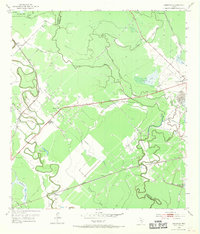
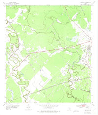
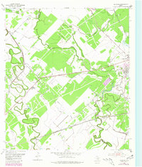
Southern Pacific and Missouri Pacific railroad tracks cross the low-lying coastal plains of the Texas Gulf Coast, defining the industrial and social geometry of this landscape in the early 1950s. The region is dominated by the extraction economy of the Sugar Valley Oil Field and Old Ocean Oil Field, featuring a prominent Oil Refinery and clusters of oil tanks near the eastern boundary. This petroleum infrastructure is interspersed with rural settlements such as Ashwood and Allenhurst, alongside community anchors like Union Ch and Bethlehem Ch.
Find a feature on this map
37 named features on this map. Tap any name to fly to it.
Don’t see what you’re looking for? This feature index may not catch every label — zoom into the map to look around manually.
Map Details
Editions of this 1952 Ashwood Map
4 editions found
Other maps of this area

1950 · Houston
USGS Topo · 1:250,000

1951 · Bay City
USGS Topo · 1:250,000

1952 · West Columbia
USGS Topo · 1:24,000

1952 · Sweeny
USGS Topo · 1:24,000

1952 · Danciger
USGS Topo · 1:24,000

1952 · Pledger
USGS Topo · 1:24,000

1952 · Bay City
USGS Topo · 1:24,000

1952 · Bay City NE
USGS Topo · 1:24,000

1952 · Van Vleck
USGS Topo · 1:24,000

1952 · Cedar Lane
USGS Topo · 1:24,000