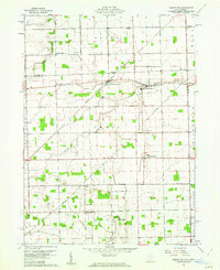
1960 Map of Assumption
USGS Topo · Published 1962About this map
Tenmile Creek and Ai Creek define the drainage of this rural landscape on the Ohio-Michigan border during the early 1960s. The region is marked by a grid of agricultural sections and small settlements like Metamora and Assumption, which serve as local centers. The Detroit Toledo and Ironton railroad cuts diagonally across the northern townships, passing the Metamora Reservoir and the hamlet of Whiteville.
Find a feature on this map
30 named features on this map. Tap any name to fly to it.
Don’t see what you’re looking for? This feature index may not catch every label — zoom into the map to look around manually.
Map Details
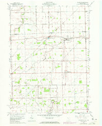
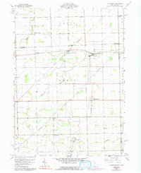
Editions of this 1960 Assumption Map
Other maps of this area

1911 · Wauseon
USGS Topo · 1:62,500

1911 · Swanton
USGS Topo · 1:62,500

1913 · Wauseon
USGS Topo · 1:62,500

1914 · Swanton
USGS Topo · 1:62,500

1935 · Whitehouse
USGS Topo · 1:24,000

1935 · Berkey
USGS Topo · 1:24,000

1939 · Berkey
USGS Topo · 1:31,680

1939 · Blissfield
USGS Topo · 1:62,500
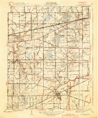
1940 · Whitehouse
USGS Topo · 1:31,680

1941 · Blissfield
USGS Topo · 1:62,500