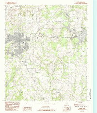
1984 Map of Athens
USGS Topo · Published 1984About this map
Athens serves as the focal point of this Henderson County landscape, shown here in the mid-1980s as the community expanded eastward toward the shores of Lake Athens. The map documents a transition from the structured urban grid of the town center to the surrounding rural reaches and recreational waters. The terrain to the north and east is defined by a series of significant water bodies, including the Athens Fish and Game Club Lake and several smaller impoundments like Kemp Lake and Chalmers Lakes.
Find a feature on this map
25 named features on this map. Tap any name to fly to it.
Don’t see what you’re looking for? This feature index may not catch every label — zoom into the map to look around manually.
Map Details
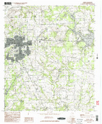
Editions of this 1984 Athens Map
2 editions found
Other maps of this area

1948 · Brownsboro
USGS Topo · 1:62,500

1948 · Martins Mill
USGS Topo · 1:62,500

1949 · Martins Mill
USGS Topo · 1:62,500

1949 · Brownsboro
USGS Topo · 1:62,500

1949 · Frankston
USGS Topo · 1:62,500

1949 · Athens
USGS Topo · 1:62,500

1950 · Athens
USGS Topo · 1:62,500

1950 · Frankston
USGS Topo · 1:62,500

1956 · Tyler
USGS Topo · 1:250,000

1984 · Tyler
USGS Topo · 1:250,000