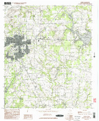
1984 Map of Athens
USGS Topo · Published 1984About this map
Athens serves as the focal point of this 1984 survey, situated at the nexus of a complex hydrological network in Henderson County. The landscape is defined by the winding paths of Coon Creek, Gum Creek, and Walnut Creek, which feed into numerous reservoirs such as Lake Athens and the Athens Fish and Game Club Lake. This era reflects the city's role as a regional hub, evidenced by the Athens Municipal Airport and the expansion of the corporate boundary. Small settlements and landmarks like Pine Grove, Virginia Hill, and Chalmers Lakes provide important points of reference for local historians. The presence of specialized water features, including Station Mill Branch and Gold Mine Branch, hints at the historical industrial or agricultural uses of the local waterways that helped shape the surrounding rural landscape.
Find a feature on this map
22 named features on this map. Tap any name to fly to it.
Don’t see what you’re looking for? This feature index may not catch every label — zoom into the map to look around manually.
Map Details
Editions of this 1984 Athens Map
2 editions found
Other maps of this area

1948 · Brownsboro
USGS Topo · 1:62,500

1948 · Martins Mill
USGS Topo · 1:62,500

1949 · Martins Mill
USGS Topo · 1:62,500

1949 · Brownsboro
USGS Topo · 1:62,500

1949 · Frankston
USGS Topo · 1:62,500

1949 · Athens
USGS Topo · 1:62,500

1950 · Athens
USGS Topo · 1:62,500

1950 · Frankston
USGS Topo · 1:62,500

1956 · Tyler
USGS Topo · 1:250,000

1984 · Tyler
USGS Topo · 1:250,000