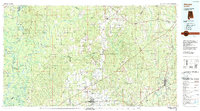
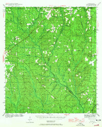
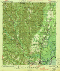
1986 Map of Atmore
USGS Topo · Published 1989About this map
The Alabama River and Tombigbee River define the western reaches of this South Alabama survey, carving a complex network of wetlands including Sibley Lake, Helical Lake, and Doctor Lake. This landscape is marked by the distinct shift from the river bottoms to the timberlands of the Little River State Forest and the Stimpson State Game Sanctuary. The map captures the infrastructure of the late twentieth century, notably the G K Fountain Correctional Center and the Atmore Muni Airport.
Find a feature on this map
126 named features on this map. Tap any name to fly to it.
Don’t see what you’re looking for? This feature index may not catch every label — zoom into the map to look around manually.
Map Details
Editions of this 1986 Atmore Map
2 editions found

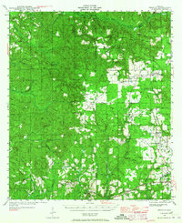
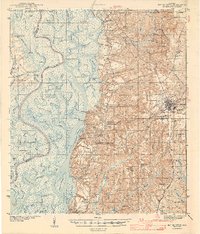
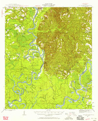
Other maps of this area
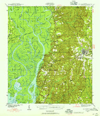
1941 · Bay Minette
USGS Topo · 1:62,500
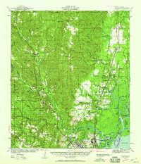
1941 · Creola
USGS Topo · 1:62,500

1941 · Century
USGS Topo · 1:62,500
1942 · Perdido
USGS Topo · 1:62,500
1942 · Dyas
USGS Topo · 1:62,500
1943 · Creola
USGS Topo · 1:62,500

1943 · Century
USGS Topo · 1:62,500
1943 · Bay Minette
USGS Topo · 1:62,500

1943 · Jay
USGS Topo · 1:62,500
1943 · Choctaw Bluff
USGS Topo · 1:62,500