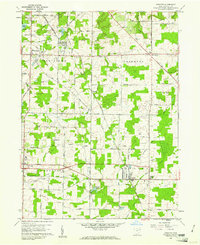
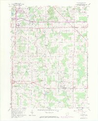
1960 Map of Atwater
USGS Topo · Published 1961About this map
Rootstown and the surrounding townships of Edinburg, Randolph, and Atwater are shown here during a period of transition in the early 1960s. The landscape is a patchwork of agricultural fields and woodlots, structured by the original land lines of the Connecticut Western Reserve. Significant infrastructure including a Microwave Tower and several large pipelines cut across the rural terrain, illustrating the modernization of the region alongside the older rail corridors of the Pennsylvania RR.
Find a feature on this map
49 named features on this map. Tap any name to fly to it.
Don’t see what you’re looking for? This feature index may not catch every label — zoom into the map to look around manually.
Map Details
Editions of this 1960 Atwater Map
8 editions found
Other maps of this area

1901 · Canton
USGS Topo · 1:62,500

1903 · Canton
USGS Topo · 1:62,500

1906 · Kent
USGS Topo · 1:62,500

1906 · Ravenna
USGS Topo · 1:62,500

1908 · Ravenna
USGS Topo · 1:62,500

1909 · Alliance
USGS Topo · 1:62,500

1950 · Cleveland
USGS Topo · 1:250,000

1951 · Canton
USGS Topo · 1:250,000

1952 · Alliance
USGS Topo · 1:24,000

1953 · Canton
USGS Topo · 1:250,000