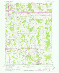
1960 Map of Atwater
USGS Topo · Published 1980About this map
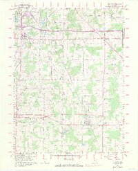
The Connecticut Western Reserve property lines define the layout of southeastern Portage County on this 1960 survey, updated in the late 1970s. The landscape is a network of small agricultural settlements and hamlets including Rootstown, Edinburg, Randolph, and Atwater, many of which grew around early rail and road intersections. The northern reach of Berlin Reservoir appears in the southeast corner, while the Conrail line cuts diagonally across the township, passing through New Milford (Rootstown Sta).
Find a feature on this map
56 named features on this map. Tap any name to fly to it.
Don’t see what you’re looking for? This feature index may not catch every label — zoom into the map to look around manually.
Map Details
Editions of this 1960 Atwater Map
8 editions found
Other maps of this area

1901 · Canton
USGS Topo · 1:62,500

1903 · Canton
USGS Topo · 1:62,500

1906 · Kent
USGS Topo · 1:62,500

1906 · Ravenna
USGS Topo · 1:62,500

1908 · Ravenna
USGS Topo · 1:62,500

1909 · Alliance
USGS Topo · 1:62,500

1950 · Cleveland
USGS Topo · 1:250,000

1951 · Canton
USGS Topo · 1:250,000

1952 · Alliance
USGS Topo · 1:24,000

1953 · Canton
USGS Topo · 1:250,000