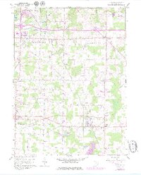
1960 Map of Atwater
USGS Topo · Published 1980About this map
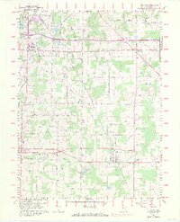
New Milford (Rootstown Sta) and the township centers of Rootstown, Edinburg, and Randolph anchor this Portage County landscape during a period of significant infrastructure development. The arrival of the interstate system is marked by Interchange 38 and Interchange 43, cutting across a countryside defined by older rail lines like the Conrail and small water bodies such as Muzzy Lake and Sandy Lake. For genealogists, the map is particularly detailed, identifying several burial grounds including Edinburg Cem, Homeland Cem, and the Disciple Cem located near the Disciple Ch. The southern portion of the quadrangle shows the upper reaches of the Berlin Reservoir and Schultz Lake, while smaller settlements like Industry and Atwater reflect the local agrarian and light industrial hubs of the mid-20th century.
Find a feature on this map
29 named features on this map. Tap any name to fly to it.
Don’t see what you’re looking for? This feature index may not catch every label — zoom into the map to look around manually.
Map Details
Editions of this 1960 Atwater Map
8 editions found
Other maps of this area

1901 · Canton
USGS Topo · 1:62,500

1903 · Canton
USGS Topo · 1:62,500

1906 · Kent
USGS Topo · 1:62,500

1906 · Ravenna
USGS Topo · 1:62,500

1908 · Ravenna
USGS Topo · 1:62,500

1909 · Alliance
USGS Topo · 1:62,500

1950 · Cleveland
USGS Topo · 1:250,000

1951 · Canton
USGS Topo · 1:250,000

1952 · Alliance
USGS Topo · 1:24,000

1953 · Canton
USGS Topo · 1:250,000