
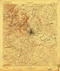
1910 Map of Austin
USGS Topo · Published 1910About this map
The Colorado River serves as the central artery for this Central Texas landscape, winding past limestone bluffs and the burgeoning state capital. On the river's western banks, the Jollyville Plateau and Mt Bonnell overlook a series of river crossings including Sylvester Ford and the Cameron Ferry. The city of Austin is depicted just as the City Dam was reshaping the waterfront, while the surrounding countryside is dotted with established homesteads and institutions like Saint Edwards College and Friendship Church.
Find a feature on this map
133 named features on this map. Tap any name to fly to it.
Don’t see what you’re looking for? This feature index may not catch every label — zoom into the map to look around manually.
Map Details
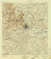
Editions of this 1910 Austin Map
3 editions found
Other maps of this area

1885 · Taylor
USGS Topo · 1:125,000

1885 · Bastrop
USGS Topo · 1:125,000

1887 · Taylor
USGS Topo · 1:125,000

1887 · Blanco
USGS Topo · 1:125,000

1887 · Burnet
USGS Topo · 1:125,000

1893 · Georgetown
USGS Topo · 1:125,000

1893 · Burnet
USGS Topo · 1:125,000

1893 · Bastrop
USGS Topo · 1:125,000

1894 · Blanco
USGS Topo · 1:125,000

1894 · Taylor
USGS Topo · 1:125,000