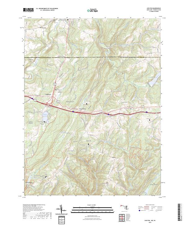
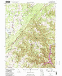
2023 Map of Avilton
USGS Topo · Published 2023About this map
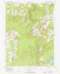
Chestnut Ridge and Meadow Mountain dominate the geography of this Maryland-Pennsylvania borderlands region, where the National Pike cuts through the high elevation of the Alleghenies. The landscape is characterized by narrow valleys and steep ridges, defined by the Casselman River and a complex network of runs including Poplar Lick Run and Blue Lick Run. Small settlements such as Avilton and Piney Grove serve as local anchors, surrounded by family-named landmarks and cemeteries that provide critical context for local history.
Find a feature on this map
109 named features on this map. Tap any name to fly to it.
Don’t see what you’re looking for? This feature index may not catch every label — zoom into the map to look around manually.
Map Details
Editions of this 2023 Avilton Map
This is the sole edition of this map. No revisions or reprints were ever made.
Historical Maps of Piney Grove Through Time
20 maps found
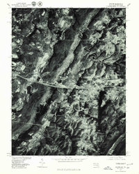
1947 Avilton
Garrett County, MD
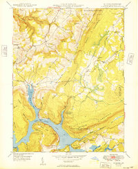
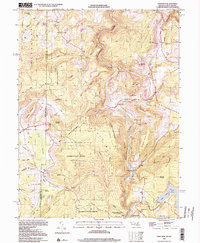
1947 Bittinger
Garrett County, MD
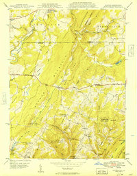
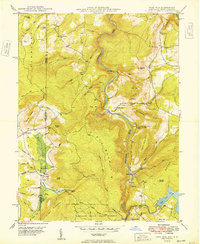
1947 McHenry
Garrett County, MD
1947 Sang Run
Garrett County, MD
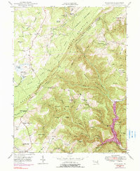
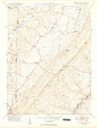
1948 Table Rock
Garrett County, MD
1949 Avilton
Garrett County, MD
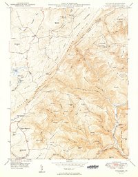
1949 Bittinger
Garrett County, MD
1949 Kempton
Garrett County, MD
1949 McHenry
Garrett County, MD
1949 Sang Run
Garrett County, MD
1949 Table Rock
Garrett County, MD
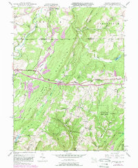
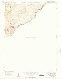
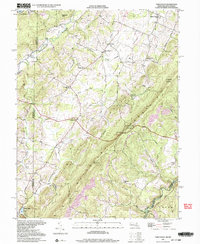
1977 Avilton
Garrett County, MD
1994 Bittinger
Garrett County, MD
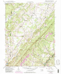
1997 Table Rock
Garrett County, MD
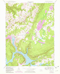
1999 Sang Run
Garrett County, MD
2023 Avilton
Garrett County, MD
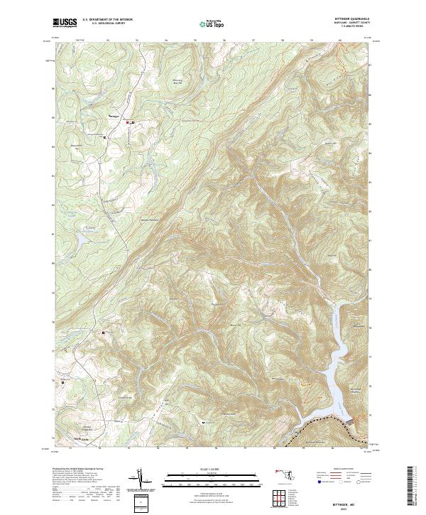
2023 Bittinger
Garrett County, MD
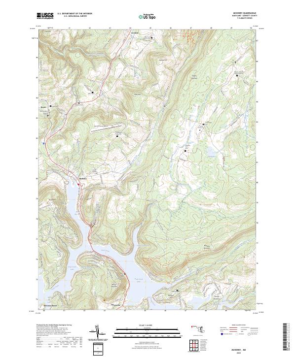
2023 McHenry
Garrett County, MD
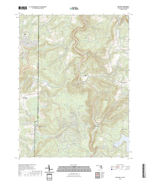
2023 Sang Run
Garrett County, MD
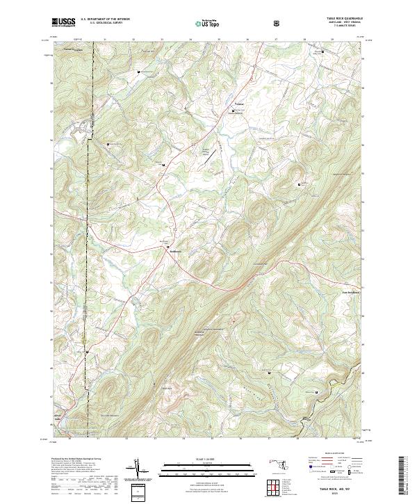
2023 Table Rock
Garrett County, MD