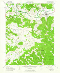
1961 Map of Bainbridge
USGS Topo · Published 1962About this map
Paint Creek carves a deep valley through the northern section of this landscape, anchoring the village of Bainbridge and its surrounding agricultural bottomlands. The town is a focal point of 1960s local infrastructure, serving as a hub for the Detroit Toledo and Ironton railroad and featuring a prominent Indian Mound on its outskirts. To the west, the topography becomes more complex at The Seven Caves, a notable landmark near Rocky Fork.
Find a feature on this map
61 named features on this map. Tap any name to fly to it.
Don’t see what you’re looking for? This feature index may not catch every label — zoom into the map to look around manually.
Map Details
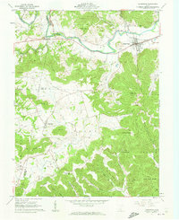
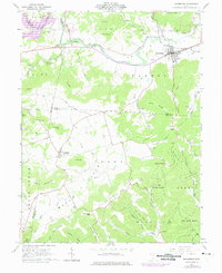
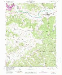
Editions of this 1961 Bainbridge Map
4 editions found
Other maps of this area

1912 · Roxabell
USGS Topo · 1:62,500

1914 · Roxabell
USGS Topo · 1:62,500

1915 · Bainbridge
USGS Topo · 1:48,000

1915 · Piketon
USGS Topo · 1:62,500

1917 · Bainbridge
USGS Topo · 1:62,500

1917 · Piketon
USGS Topo · 1:62,500

1917 · Greenfield
USGS Topo · 1:62,500

1944 · Piketon
USGS Topo · 1:62,500

1944 · Greenfield
USGS Topo · 1:62,500

1944 · Roxabell
USGS Topo · 1:62,500