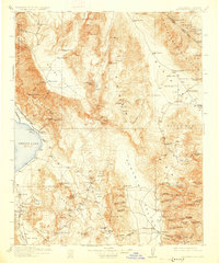
1913 Map of Ballarat
USGS Topo · Published 1927About this map
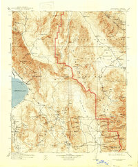
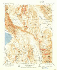
The high desert landscape of Death Valley and the surrounding ranges is documented here just before the era of modern desert tourism. The map captures a mining economy in transition, where established operations like the Cerro Gordo Mine and Modoc Mine supported settlements like Keeler and Darwin. To the west, Owens Lake appears as a significant body of water before extensive diversion, with the Southern Pacific railroad skirting its eastern shore to serve the Soda Works. Remote outposts such as Skidoo, Harrisburg, and Ballarat anchor the rugged Panamint Valley and Grapevine Mountains, while isolated sites like Indian Ranch and Hungry Bills Ranch represent the sparse agricultural attempts in the arid basins. This survey provides a precise record of water sources essential for survival, from Stovepipe Wells to Emigrant Spring, marking the vital infrastructure of the early 20th-century California desert.
Find a feature on this map
115 named features on this map. Tap any name to fly to it.
Don’t see what you’re looking for? This feature index may not catch every label — zoom into the map to look around manually.
Map Details
Editions of this 1913 Ballarat Map
7 editions found

Other maps of this area

1905 · Olancha
USGS Topo · 1:125,000

1906 · Kernville
USGS Topo · 1:125,000

1907 · Olancha
USGS Topo · 1:125,000

1907 · Mt. Whitney
USGS Topo · 1:125,000

1908 · Kawich
USGS Topo · 1:250,000

1908 · Lida
USGS Topo · 1:250,000

1908 · Furnace Creek
USGS Topo · 1:250,000

1908 · Kernville
USGS Topo · 1:125,000

1908 · Ballarat
USGS Topo · 1:250,000

1910 · Furnace Creek
USGS Topo · 1:250,000