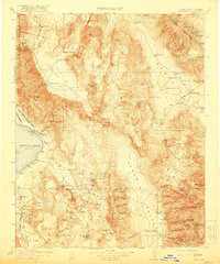
1913 Map of Ballarat
USGS Topo · Published 1921About this map
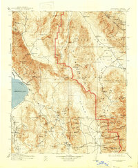
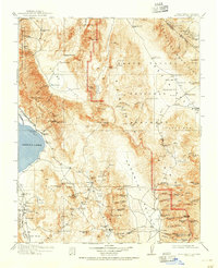
Owens Lake and the towering Panamint Range dominate this desert landscape, captured during a period of intense mining and early infrastructure development in Inyo County. The map documents the vital importance of water and transport in the arid west, showing the Southern Pacific railroad skirting the shoreline to Keeler, where a Soda Works stood. High in the mountains, the map records the locations of active and fading camps including Darwin, Skidoo, and Harrisburg. Notable industrial features such as the Cerro Gordo Mine with its tramway and the Aqueduct Dam near Haiwee illustrate the engineering efforts to extract wealth and manage water resources. The inclusion of Panamint (Abandoned) serves as a contemporary marker of the boom-and-bust cycle that defined many of these high-altitude settlements, while isolated outposts like Indian Ranch and Junction Ranch point to the scattered agricultural attempts in the surrounding valleys.
Find a feature on this map
121 named features on this map. Tap any name to fly to it.
Don’t see what you’re looking for? This feature index may not catch every label — zoom into the map to look around manually.
Map Details
Editions of this 1913 Ballarat Map
7 editions found

Other maps of this area

1905 · Olancha
USGS Topo · 1:125,000

1906 · Kernville
USGS Topo · 1:125,000

1907 · Olancha
USGS Topo · 1:125,000

1907 · Mt. Whitney
USGS Topo · 1:125,000

1908 · Kawich
USGS Topo · 1:250,000

1908 · Lida
USGS Topo · 1:250,000

1908 · Furnace Creek
USGS Topo · 1:250,000

1908 · Kernville
USGS Topo · 1:125,000

1908 · Ballarat
USGS Topo · 1:250,000

1910 · Furnace Creek
USGS Topo · 1:250,000