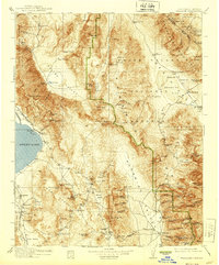
1913 Map of Ballarat
USGS Topo · Published 1939About this map
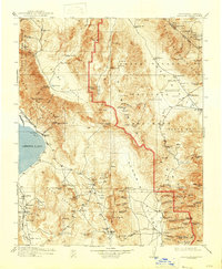
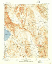
The high desert landscape of the Panamint Range and Inyo Mountains reveals a geography defined by the search for minerals and water during the early twentieth century. From the mining camps of Skidoo and Harrisburg in the north to the settlement of Ballarat in the south, the map traces the network of springs and wagon roads that sustained these remote outposts. Evidence of the region's industrial efforts is visible at the Cerro Gordo mines and the Soda Works near Keeler, while the Southern Pacific railroad skirts the eastern shore of Owens Lake. The inclusion of the Aqueduct Dam near Haiwee reflects the massive water infrastructure projects of the era. Cultural landmarks like Indian Ranch and Hungry Bills Ranch appear alongside long-standing watering holes such as Coso Hot Springs and Mesquite Spr, anchoring the history of the Panamint and Saline Valleys.
Find a feature on this map
181 named features on this map. Tap any name to fly to it.
Don’t see what you’re looking for? This feature index may not catch every label — zoom into the map to look around manually.
Map Details
Editions of this 1913 Ballarat Map
7 editions found

Other maps of this area

1905 · Olancha
USGS Topo · 1:125,000

1906 · Kernville
USGS Topo · 1:125,000

1907 · Olancha
USGS Topo · 1:125,000

1907 · Mt. Whitney
USGS Topo · 1:125,000

1908 · Kawich
USGS Topo · 1:250,000

1908 · Lida
USGS Topo · 1:250,000

1908 · Furnace Creek
USGS Topo · 1:250,000

1908 · Kernville
USGS Topo · 1:125,000

1908 · Ballarat
USGS Topo · 1:250,000

1910 · Furnace Creek
USGS Topo · 1:250,000