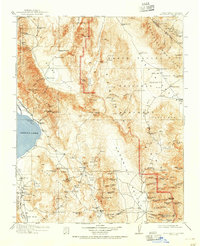
1913 Map of Ballarat
USGS Topo · Published 1951About this map
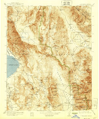
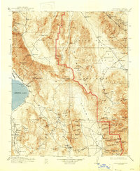
Owens Lake and the surrounding desert basins define this early twentieth-century survey of the high desert along the California-Nevada border. This was an era of intense resource extraction, evidenced by the industrial infrastructure of the Soda Works on the lake shore and the Southern Pacific railroad line skirting the Inyo Mountains. The map details the isolated mining settlements and camps that once thrived in these canyons, including the high-altitude Skidoo, the mining hub of Darwin, and the community at Ballarat.
Find a feature on this map
133 named features on this map. Tap any name to fly to it.
Don’t see what you’re looking for? This feature index may not catch every label — zoom into the map to look around manually.
Map Details
Editions of this 1913 Ballarat Map
7 editions found

Other maps of this area

1905 · Olancha
USGS Topo · 1:125,000

1906 · Kernville
USGS Topo · 1:125,000

1907 · Olancha
USGS Topo · 1:125,000

1907 · Mt. Whitney
USGS Topo · 1:125,000

1908 · Kawich
USGS Topo · 1:250,000

1908 · Lida
USGS Topo · 1:250,000

1908 · Furnace Creek
USGS Topo · 1:250,000

1908 · Kernville
USGS Topo · 1:125,000

1908 · Ballarat
USGS Topo · 1:250,000

1910 · Furnace Creek
USGS Topo · 1:250,000