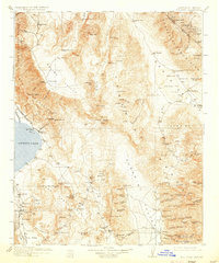
1913 Map of Ballarat
USGS Topo · Published 1933About this map
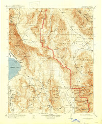
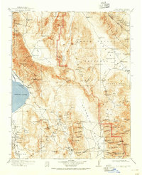
Cerro Gordo Mine sits perched high in the Inyo Mountains, a hub of early mining activity that defined the region's industrial character before the turn of the century. The landscape is a study in isolation and industry, where the Southern Pacific railroad terminates at Keeler on the shores of Owens Lake, serving the nearby Soda Works. To the east, the vast expanse of Death Valley and Mesquite Flat is dotted with vital water sources like Stovepipe Wells and Surveyors Well, which were essential for travel between remote camps. The map documents several high-altitude mining settlements such as Skidoo, Harrisburg, and the already Panamint (Abandoned) townsite in the Panamint Range. These labels provide a window into the hardscrabble life of the California-Nevada borderlands, where family-named locations like Hungry Bills Ranch and Howard Ranch subsisted alongside larger operations like the Modoc Mine.
Find a feature on this map
111 named features on this map. Tap any name to fly to it.
Don’t see what you’re looking for? This feature index may not catch every label — zoom into the map to look around manually.
Map Details
Editions of this 1913 Ballarat Map
7 editions found

Other maps of this area

1905 · Olancha
USGS Topo · 1:125,000

1906 · Kernville
USGS Topo · 1:125,000

1907 · Olancha
USGS Topo · 1:125,000

1907 · Mt. Whitney
USGS Topo · 1:125,000

1908 · Kawich
USGS Topo · 1:250,000

1908 · Lida
USGS Topo · 1:250,000

1908 · Furnace Creek
USGS Topo · 1:250,000

1908 · Kernville
USGS Topo · 1:125,000

1908 · Ballarat
USGS Topo · 1:250,000

1910 · Furnace Creek
USGS Topo · 1:250,000