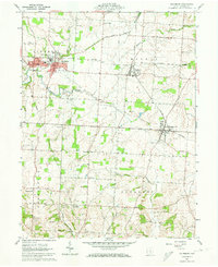
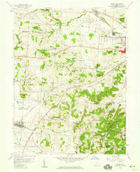
1961 Map of Baltimore
USGS Topo · Published 1973About this map
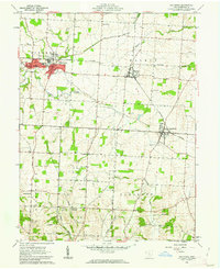
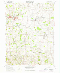
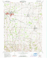
Walnut Creek and the New York Central railroad corridor define the geography of central Fairfield County in the early 1960s. The settlement of Baltimore serves as a focal point, where the remnants of the Ohio Canal (Abandoned) parallel the modern rail lines, illustrating the transition from nineteenth-century water transport to twentieth-century industrial infrastructure. The map records several small communities including Thurston, Pleasantville, and Dumontville, each surrounded by a landscape of productive woodlots and family burial grounds such as Warner Cem and McNamee Cem. Cultural landmarks like Maple Grove Ch and the High Sch in Baltimore provide essential anchor points for genealogists tracing local families. To the south, the terrain becomes more varied around Fetters Run and Ewing Run, where the Floral Hills Memory Gardens and several Oil Wells indicate a mix of residential growth and natural resource extraction.
Find a feature on this map
34 named features on this map. Tap any name to fly to it.
Don’t see what you’re looking for? This feature index may not catch every label — zoom into the map to look around manually.
Map Details
Editions of this 1961 Baltimore Map
4 editions found
Other maps of this area

1907 · Logan
USGS Topo · 1:62,500

1907 · Lancaster
USGS Topo · 1:62,500

1907 · Thurston
USGS Topo · 1:62,500

1909 · Thornville
USGS Topo · 1:62,500

1909 · Lancaster
USGS Topo · 1:62,500

1909 · Logan
USGS Topo · 1:62,500

1909 · Thurston
USGS Topo · 1:62,500

1947 · Columbus
USGS Topo · 1:250,000

1958 · Carroll
USGS Topo · 1:24,000
1958 · Amanda
USGS Topo · 1:24,000