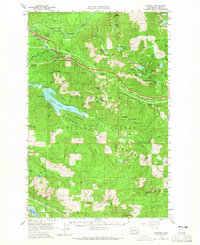
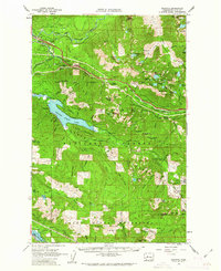
1960 Map of Bandera
USGS Topo · Published 1965About this map
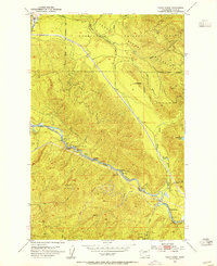
Sallal Prairie and the upper reaches of the Middle Fork Snoqualmie River define the northern portion of this 1960 survey, a landscape transitioning from the valley floor into high Cascades peaks. The Chicago Milwaukee St Paul and Pacific railroad serves as the primary industrial artery, winding through the valley and connecting small stops like Ragnar and Garcia. To the south, the massive expanse of Chester Morse Lake occupies the protected Cedar River (City of Seattle) Watershed, emphasizing the region's critical role in regional water management.
Find a feature on this map
81 named features on this map. Tap any name to fly to it.
Don’t see what you’re looking for? This feature index may not catch every label — zoom into the map to look around manually.
Map Details
Editions of this 1960 Bandera Map
3 editions found

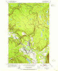
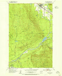
Other maps of this area

1901 · Snoqualmie Pass
USGS Topo · 1:125,000

1902 · Skykomish
USGS Topo · 1:125,000

1903 · Snoqualmie
USGS Topo · 1:125,000

1905 · Skykomish
USGS Topo · 1:125,000

1913 · Cedar Lake
USGS Topo · 1:125,000

1921 · Sultan
USGS Topo · 1:125,000

1923 · Sultan
USGS Topo · 1:125,000
1953 · Snoqualmie
USGS Topo · 1:24,000
1953 · North Bend
USGS Topo · 1:24,000
1953 · Eagle Gorge
USGS Topo · 1:24,000