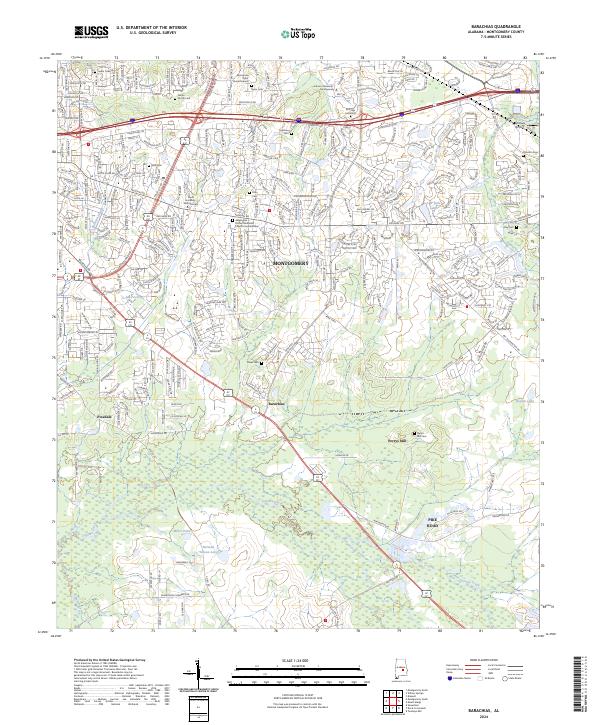
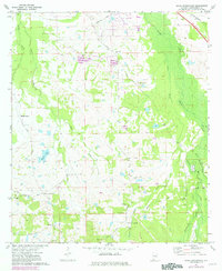
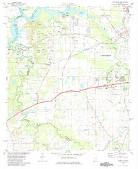
2024 Map of Barachias
USGS Topo · Published 2024About this map
Montgomery expands into the surrounding agricultural landscape on this 2024 survey, where suburban development meets older rural settlements like Barachias and Pike Road. The map reveals a high density of family burial sites and historical markers, such as the McLemore Taylor Burial Ground and Green Family Cem, illustrating the deep-rooted genealogical heritage of this corner of Alabama.
Find a feature on this map
34 named features on this map. Tap any name to fly to it.
Don’t see what you’re looking for? This feature index may not catch every label — zoom into the map to look around manually.
Map Details
Editions of this 2024 Barachias Map
This is the sole edition of this map. No revisions or reprints were ever made.
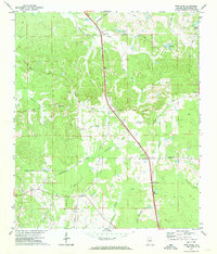
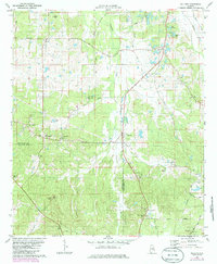
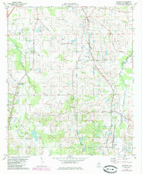
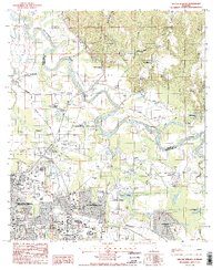
Historical Maps of Pine Forest Estates Through Time
32 maps found

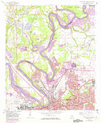
1957 Letohatchee
Montgomery County, AL
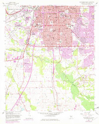
1958 Montgomery North
Montgomery County, AL
1958 Montgomery South
Montgomery County, AL
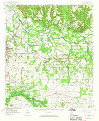
1958 Mount Meigs
Montgomery County, AL
1971 Davis Crossroads
Montgomery County, AL
1971 Pine Level
Montgomery County, AL
1971 Ramer
Montgomery County, AL
1971 Teasleys Mill
Montgomery County, AL

1975 Montgomery North
Montgomery County, AL

1975 Montgomery South
Montgomery County, AL

1975 Montgomery SW
Montgomery County, AL

1975 Mount Meigs NW
Montgomery County, AL

1975 Mount Meigs SE
Montgomery County, AL

1975 Mount Meigs SW
Montgomery County, AL
1981 Cantelous
Montgomery County, AL
1981 Sellers
Montgomery County, AL
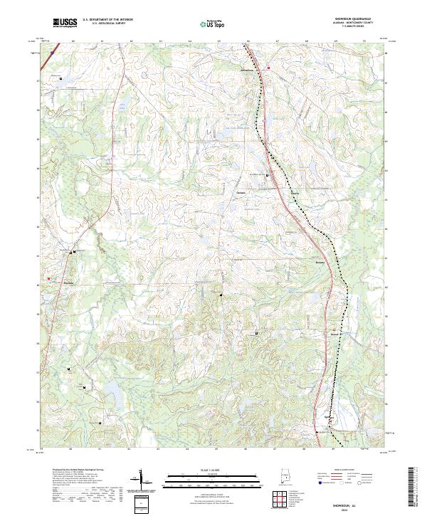
1981 Snowdoun
Montgomery County, AL

1987 Barachias
Montgomery County, AL

1987 Mount Meigs
Montgomery County, AL
1987 Willow Springs
Montgomery County, AL
2024 Barachias
Montgomery County, AL
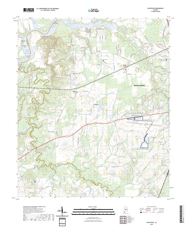
2024 Cantelous
Montgomery County, AL
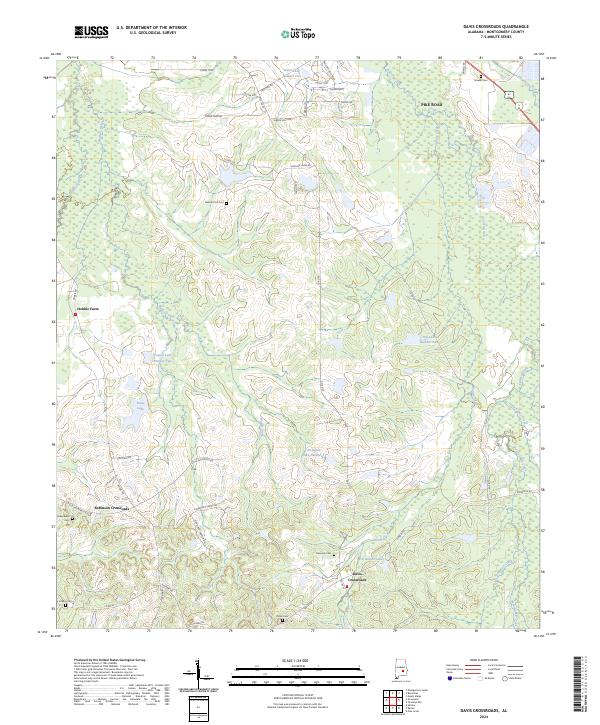
2024 Davis Crossroads
Montgomery County, AL
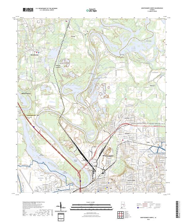
2024 Montgomery North
Montgomery County, AL
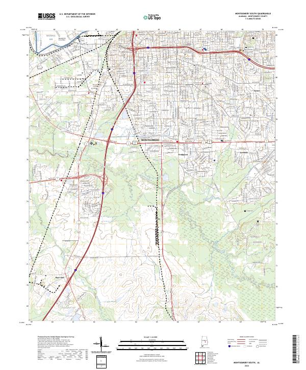
2024 Montgomery South
Montgomery County, AL
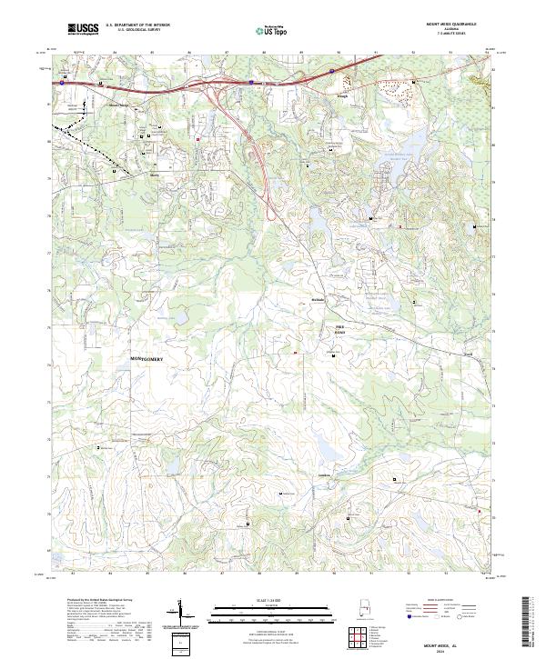
2024 Mount Meigs
Montgomery County, AL
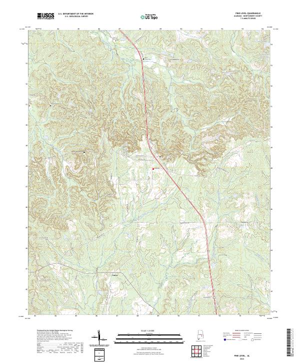
2024 Pine Level
Montgomery County, AL
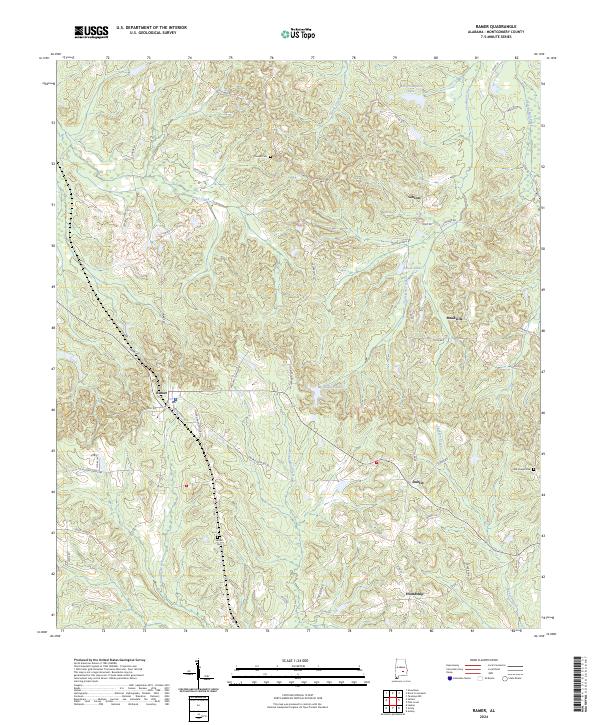
2024 Ramer
Montgomery County, AL
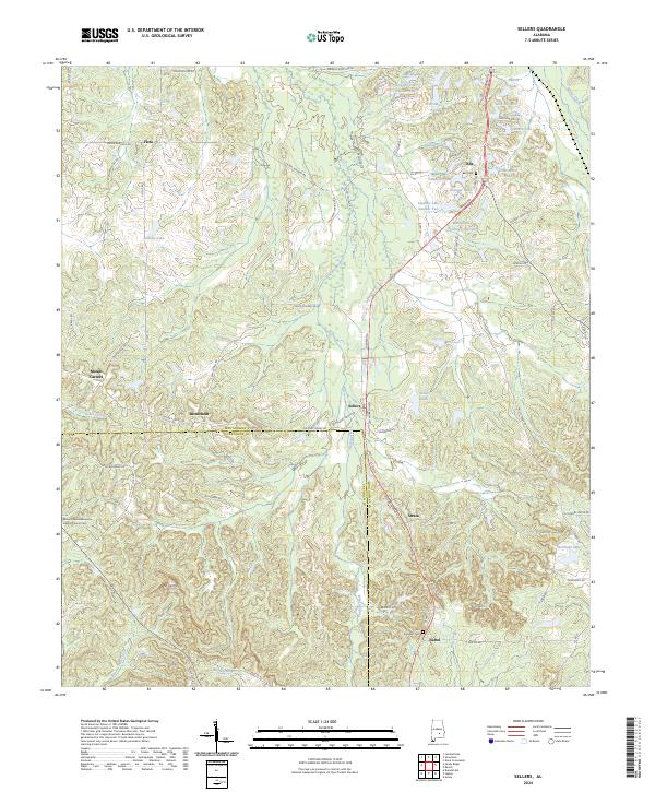
2024 Sellers
Montgomery County, AL
2024 Snowdoun
Montgomery County, AL
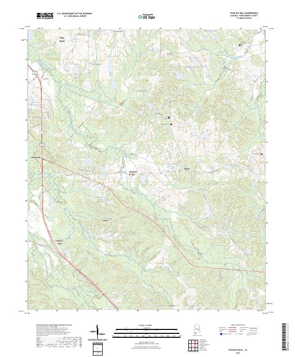
2024 Teasleys Mill
Montgomery County, AL
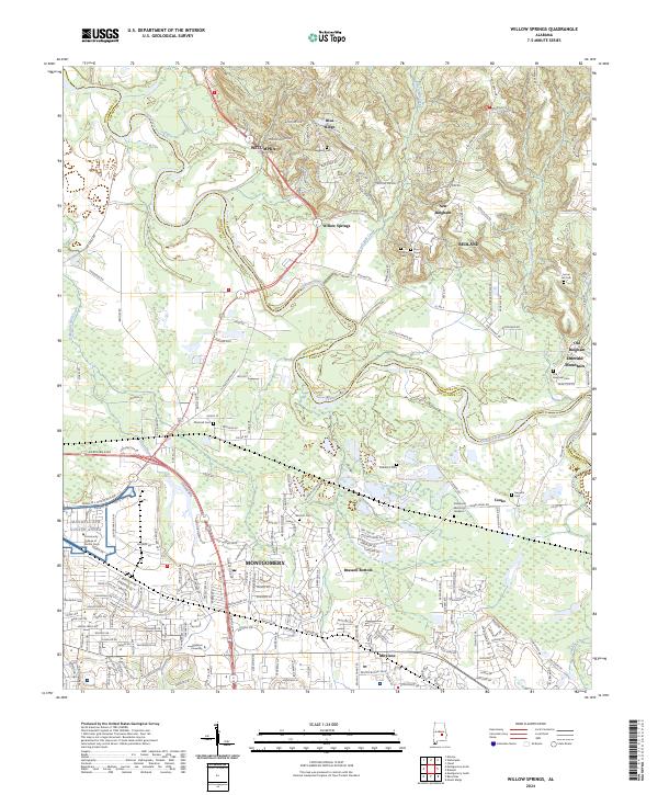
2024 Willow Springs
Montgomery County, AL