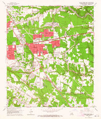
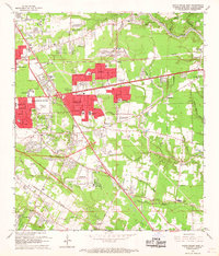
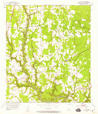
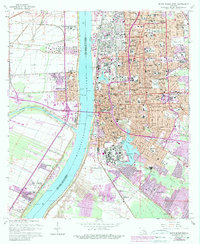
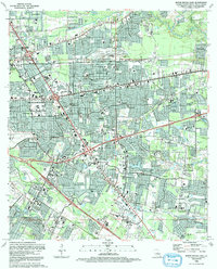
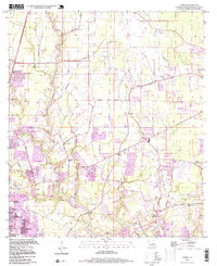
1963 Map of Baton Rouge East
USGS Topo · Published 1964This historical map portrays the area of Baton Rouge East in 1963, primarily covering East Baton Rouge Parish. Featuring a scale of 1:24000, this map provides a highly detailed snapshot of the terrain, roads, buildings, counties, and historical landmarks in the Baton Rouge East region at the time. Published in 1964, it is one of 5 known editions of this map due to revisions or reprints.
Find a feature on this map
64 named features on this map. Tap any name to fly to it.
Don’t see what you’re looking for? This feature index may not catch every label — zoom into the map to look around manually.
Map Details
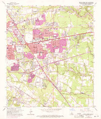
Editions of this 1963 Baton Rouge East Map
5 editions found
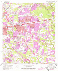
Historical Maps of Randolph Heights Through Time
20 maps found

1942 Pride
East Baton Rouge Parish, LA

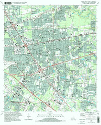
1953 Baton Rouge East
East Baton Rouge Parish, LA

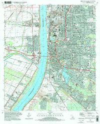
1953 Baton Rouge West
East Baton Rouge Parish, LA
1953 Comite
East Baton Rouge Parish, LA

1954 Fred
East Baton Rouge Parish, LA
1954 Pride
East Baton Rouge Parish, LA

1954 Scotlandville
East Baton Rouge Parish, LA
1962 Comite
East Baton Rouge Parish, LA
1963 Baton Rouge East
East Baton Rouge Parish, LA
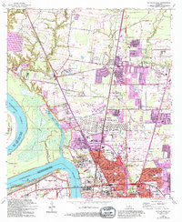
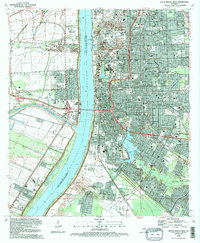
1963 Baton Rouge West
East Baton Rouge Parish, LA
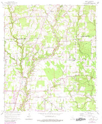
1963 Fred
East Baton Rouge Parish, LA
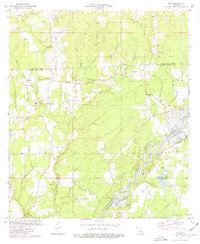
1963 Scotlandville
East Baton Rouge Parish, LA
1980 Pride
East Baton Rouge Parish, LA
1992 Baton Rouge East
East Baton Rouge Parish, LA
1992 Baton Rouge West
East Baton Rouge Parish, LA
1995 Baton Rouge East
East Baton Rouge Parish, LA
1995 Baton Rouge West
East Baton Rouge Parish, LA

1995 Scotlandville
East Baton Rouge Parish, LA
1996 Comite
East Baton Rouge Parish, LA

1998 Fred
East Baton Rouge Parish, LA