
1958 Map of Bear Creek
USGS Topo · Published 1960About this map
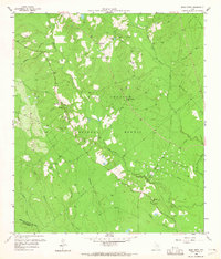
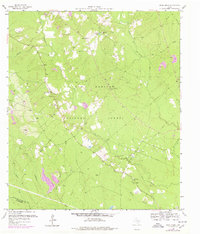
Sam Houston National Forest covers much of this mid-century landscape in San Jacinto County, where timber and early oil exploration define the local economy. The terrain is intricately carved by a dense network of waterways, including Winters Bayou and the East Fork San Jacinto River, which create a complex drainage pattern through the woodland. Rural community life centers on small landmarks like Oak Grove and several country churches including Magnolia Ch and Pleasant Grove Ch.
Find a feature on this map
28 named features on this map. Tap any name to fly to it.
Don’t see what you’re looking for? This feature index may not catch every label — zoom into the map to look around manually.
Map Details
Editions of this 1958 Bear Creek Map
3 editions found
Other maps of this area

1954 · Beaumont
USGS Topo · 1:250,000

1957 · Beaumont
USGS Topo · 1:250,000

1958 · Fostoria
USGS Topo · 1:24,000

1958 · Cleveland
USGS Topo · 1:24,000

1958 · Westcott
USGS Topo · 1:24,000

1959 · Cut and Shoot
USGS Topo · 1:24,000

1959 · Conroe NE
USGS Topo · 1:24,000

1960 · Maynard
USGS Topo · 1:24,000

1960 · Camilla
USGS Topo · 1:24,000

1960 · Coldspring
USGS Topo · 1:24,000