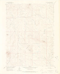
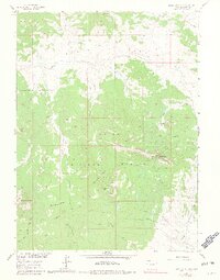
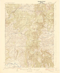
1962 Map of Bears Ears Peaks
USGS Topo · Published 1969About this map
Bears Ears Peaks and the surrounding high country within the Routt National Forest define this 1962 field-checked survey of Northwest Colorado. The landscape is characterized by a network of drainage basins and named high points, including the prominent Sugar Loaf Mountain and the distinctively named Hole-in-the-Wall. Large open areas like Slater Park and Adams Park sit between the peaks, serving as landmarks for movement through the wilderness.
Find a feature on this map
30 named features on this map. Tap any name to fly to it.
Don’t see what you’re looking for? This feature index may not catch every label — zoom into the map to look around manually.
Map Details
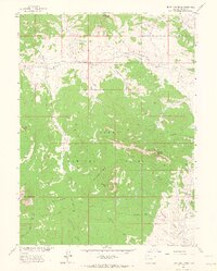
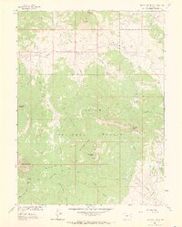
Editions of this 1962 Bears Ears Peaks Map
6 editions found

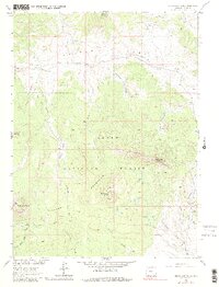
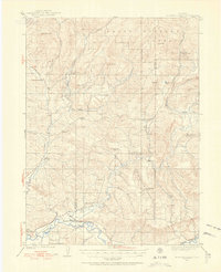
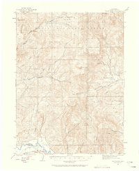
Other maps of this area
1923 · Elkhead Creek
USGS Topo · 1:62,500
1923 · Pilot Knob
USGS Topo · 1:62,500
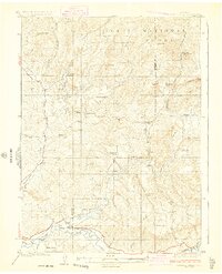
1924 · Elkhead Creek
USGS Topo · 1:62,500
1925 · Pilot Knob
USGS Topo · 1:62,500

1954 · Craig
USGS Topo · 1:250,000

1957 · Craig
USGS Topo · 1:250,000

1958 · Craig
USGS Topo · 1:250,000

1960 · Craig
USGS Topo · 1:250,000

1962 · Craig
USGS Topo · 1:250,000
1962 · Tumble Mountain
USGS Topo · 1:24,000