
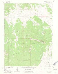
1962 Map of Bears Ears Peaks
USGS Topo · Published 1981About this map
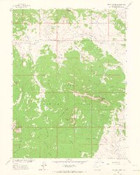
Bears Ears Peaks anchor the high elevations of the Elkhead Mountains in this early 1960s survey of the Routt National Forest. The landscape is defined by its drainage systems, where Slater Creek and the North Fork Elkhead Creek carve through the terrain, creating distinct meadows like Slater Park and Adams Park. These open areas provided essential summer grazing and transit points for the region's ranching and forestry economy.
Find a feature on this map
33 named features on this map. Tap any name to fly to it.
Don’t see what you’re looking for? This feature index may not catch every label — zoom into the map to look around manually.
Map Details
Editions of this 1962 Bears Ears Peaks Map
6 editions found
Other maps of this area

1923 · Elkhead Creek
USGS Topo · 1:62,500

1923 · Pilot Knob
USGS Topo · 1:62,500

1924 · Elkhead Creek
USGS Topo · 1:62,500

1925 · Pilot Knob
USGS Topo · 1:62,500

1954 · Craig
USGS Topo · 1:250,000

1957 · Craig
USGS Topo · 1:250,000

1958 · Craig
USGS Topo · 1:250,000

1960 · Craig
USGS Topo · 1:250,000

1962 · Craig
USGS Topo · 1:250,000
1962 · Tumble Mountain
USGS Topo · 1:24,000