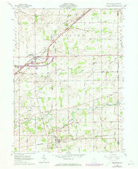
1961 Map of Beaverdam
USGS Topo · Published 1973About this map
The village of Beaverdam (Beaver Dam Sta) sits at a critical transportation crossroads where the Norfolk and Western railway intersects with the evolving path of the interstate system, marked here by Interchange 75 and Interchange 74. This western Ohio landscape is defined by its agricultural layout and a network of creeks including Hog Creek and the Ottawa River that draw through the townships of Richland and Jackson. Small rural centers like Lafayette maintain their distinct footprints, connected by straight farm roads that follow the township grids. For those tracing family histories in Allen and Hardin counties, the map preserves the locations of several small burial grounds such as Gratz Cem, Woodland Cem, and Desenberg Cem, alongside community landmarks like Liberty Chapel and Pleasant Hill Ch.
Find a feature on this map
32 named features on this map. Tap any name to fly to it.
Don’t see what you’re looking for? This feature index may not catch every label — zoom into the map to look around manually.
Map Details
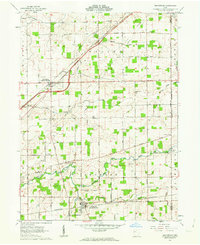
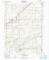
Editions of this 1961 Beaverdam Map
3 editions found
Other maps of this area

1906 · Lima
USGS Topo · 1:62,500

1906 · Columbus Grove
USGS Topo · 1:62,500

1907 · Bluffton
USGS Topo · 1:62,500

1908 · Columbus Grove
USGS Topo · 1:62,500

1913 · Alger
USGS Topo · 1:48,000

1915 · Alger
USGS Topo · 1:62,500

1943 · Alger
USGS Topo · 1:62,500

1950 · Marion
USGS Topo · 1:250,000

1953 · Muncie
USGS Topo · 1:250,000

1956 · Muncie
USGS Topo · 1:250,000