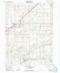
1961 Map of Beaverdam
USGS Topo · Published 1992About this map
Beaverdam (Beaver Dam Sta) and Lafayette anchor this detailed landscape in northwestern Ohio, which reveals the transition from early rail-based settlement to the modern highway era. The alignment of the Norfolk and Western and Penn Central railroads illustrates the historical transport backbone of Allen County, while later revisions in purple show the rising prominence of the interstate interchange system. The rural character is defined by a dense network of family and community landmarks, including Woodland Cem, Emmanuel Ch, and Liberty Chapel. Waterways such as the Ottawa River and Little Riley Creek carve through the agricultural blocks of Richland and Jackson townships. This 1961 record, with updates reflecting the 1970s, captures the precise location of numerous industrial Drill Holes and gravel pits that once supported local construction and infrastructure.
Find a feature on this map
36 named features on this map. Tap any name to fly to it.
Don’t see what you’re looking for? This feature index may not catch every label — zoom into the map to look around manually.
Map Details
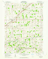
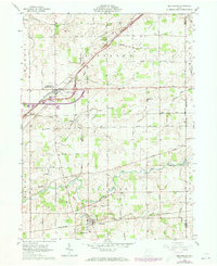
Editions of this 1961 Beaverdam Map
3 editions found
Other maps of this area

1906 · Lima
USGS Topo · 1:62,500

1906 · Columbus Grove
USGS Topo · 1:62,500

1907 · Bluffton
USGS Topo · 1:62,500

1908 · Columbus Grove
USGS Topo · 1:62,500

1913 · Alger
USGS Topo · 1:48,000

1915 · Alger
USGS Topo · 1:62,500

1943 · Alger
USGS Topo · 1:62,500

1950 · Marion
USGS Topo · 1:250,000

1953 · Muncie
USGS Topo · 1:250,000

1956 · Muncie
USGS Topo · 1:250,000