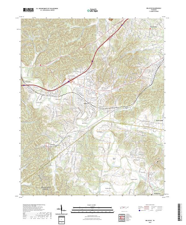
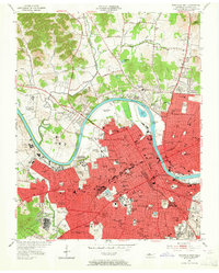
2022 Map of Bellevue
USGS Topo · Published 2022About this map
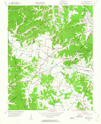
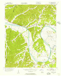
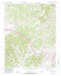
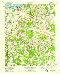
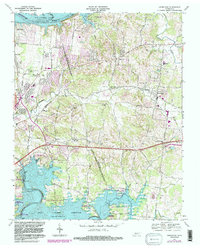
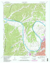
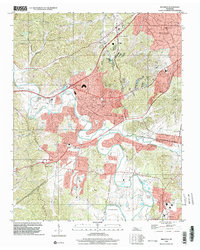
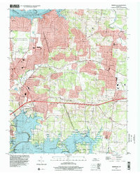
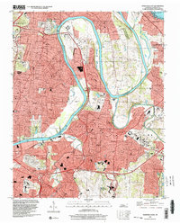
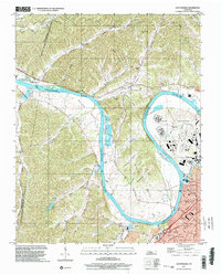
The Harpeth River carves a series of dramatic loops across this landscape, creating distinctive landforms like Hutton Bend, Hicks Bend, and Sawyer Bend. This 2022 survey captures the modern interface of suburban development and historical transit corridors west of Nashville. The Natchez Trace Parkway enters the area from the southwest, tracking near the Backbone Ridge, while the northern reaches are defined by the elevations of Sullivan Ridge and Ninemile Hill.
Find a feature on this map
42 named features on this map. Tap any name to fly to it.
Don’t see what you’re looking for? This feature index may not catch every label — zoom into the map to look around manually.
Map Details
Editions of this 2022 Bellevue Map
This is the sole edition of this map. No revisions or reprints were ever made.
Historical Maps of Nashville Through Time
30 maps found
1932 Hermitage
Davidson County, TN
1952 Antioch
Davidson County, TN

1952 Hermitage
Davidson County, TN
1952 Nashville East
Davidson County, TN
1952 Nashville West
Davidson County, TN
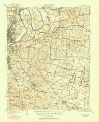
1955 Belleview
Davidson County, TN
1955 Scottsboro
Davidson County, TN
1955 Whites Creek
Davidson County, TN
1957 Hermitage
Davidson County, TN
1957 Nashville East
Davidson County, TN
1968 Antioch
Davidson County, TN
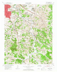
1968 Bellevue
Davidson County, TN
1968 Hermitage
Davidson County, TN
1968 Nashville East
Davidson County, TN

1968 Nashville West
Davidson County, TN
1968 Scottsboro
Davidson County, TN
1994 Whites Creek
Davidson County, TN
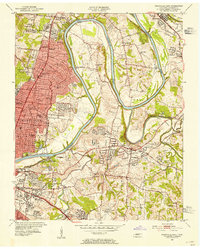
1997 Bellevue
Davidson County, TN
1997 Hermitage
Davidson County, TN
1997 Nashville East
Davidson County, TN

1997 Nashville West
Davidson County, TN
1997 Scottsboro
Davidson County, TN
1999 Antioch
Davidson County, TN
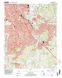
2022 Antioch
Davidson County, TN
2022 Bellevue
Davidson County, TN
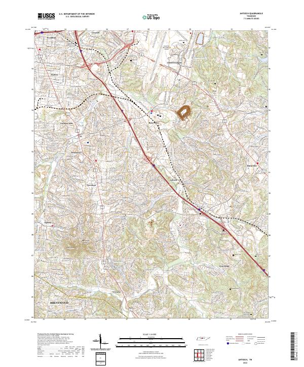
2022 Hermitage
Davidson County, TN
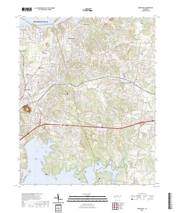
2022 Nashville East
Davidson County, TN

2022 Nashville West
Davidson County, TN
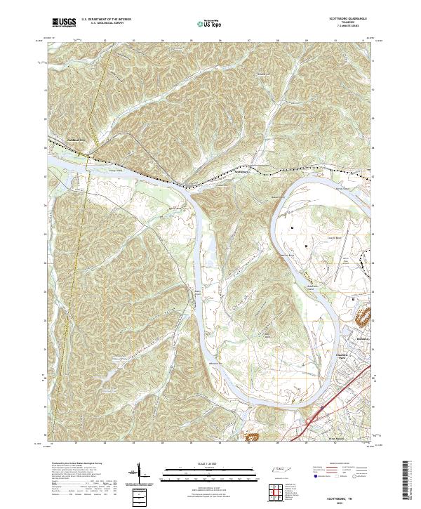
2022 Scottsboro
Davidson County, TN
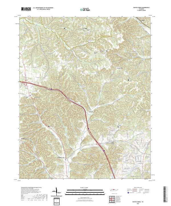
2022 Whites Creek
Davidson County, TN