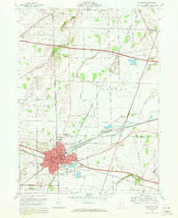
1969 Map of Bellevue
USGS Topo · Published 1979About this map
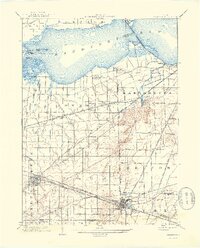
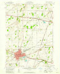
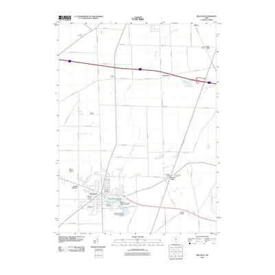
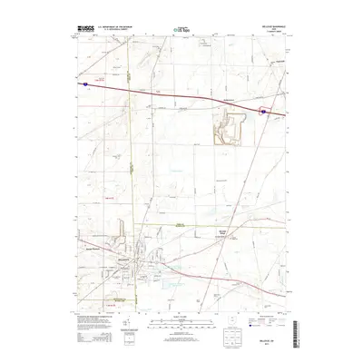
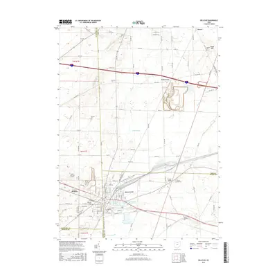
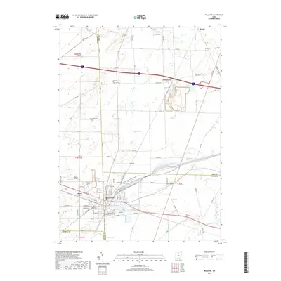
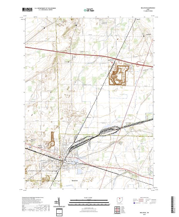
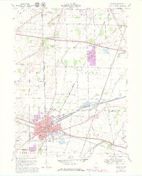
Bellevue serves as the central hub of this northern Ohio landscape, where the Norfolk and Western railway lines converge amid a dense network of local schools and churches. The map illustrates the town's industrial and civic footprint in the late 1960s, featuring landmarks like the Hospital, a Playground, and various municipal buildings including McKim Sch and the Jr High Sch. Beyond the urban center, the geography is defined by a series of distinct cemeteries such as Deyo Cem and Parkhurst Cem, suggesting deep-rooted family histories across Townsend and York townships.
Find a feature on this map
84 named features on this map. Tap any name to fly to it.
Don’t see what you’re looking for? This feature index may not catch every label — zoom into the map to look around manually.
Map Details
Editions of this 1969 Bellevue Map
4 editions found
Historical Maps of Bellevue Through Time
9 maps found