
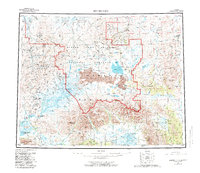
1950 Map of Bendeleben
USGS Topo · Published 1956About this map
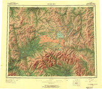
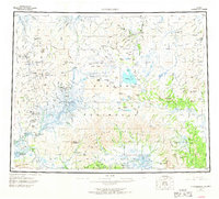
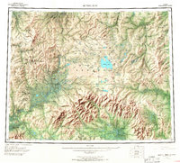
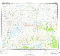
The Seward Peninsula interior, captured here at the start of the 1950s, reveals a landscape defined by gold exploration and early aviation. Central to this map is the massive Imuruk Lake, surrounded by volcanic features like Camille Cone and Dryas Cone. Local industry is reflected in the isolated settlements of Taylor, Aurora, and Omilak, many of which were tied to remote mineral operations. A complex network of watercourses, including the Kuzitrin River and the Fish River, served as the primary routes through the territory before the widespread development of permanent roads. Notable landmarks for aviation and navigation include the Utica Landing Area and the Bunker Hill Station. The map provides an essential view of the region's geography, from the heights of Mount Bendeleben to the depths of Death Valley in the east.
Find a feature on this map
51 named features on this map. Tap any name to fly to it.
Don’t see what you’re looking for? This feature index may not catch every label — zoom into the map to look around manually.
Map Details
Editions of this 1950 Bendeleben Map
6 editions found
Other maps of this area

1907 · Casadepaga
USGS Topo · 1:62,500

1948 · Norton Bay
USGS Topo · 1:250,000

1950 · Kotzebue A-1
USGS Topo · 1:63,360

1950 · Bendeleben C-5
USGS Topo · 1:63,360

1950 · Bendeleben A-6
USGS Topo · 1:63,360

1950 · Bendeleben B-5
USGS Topo · 1:63,360

1950 · Bendeleben A-4
USGS Topo · 1:63,360

1950 · Bendeleben C-1
USGS Topo · 1:63,360

1950 · Bendeleben C-3
USGS Topo · 1:63,360

1950 · Bendeleben B-6
USGS Topo · 1:63,360