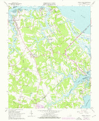
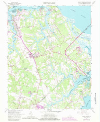
1965 Map of Benns Church
USGS Topo · Published 1972About this map
Pagan River and Jones Creek define this Tidewater landscape at the mouth of the James River, where fishing settlements and agricultural crossroads have long shaped Isle of Wight County life. The area is anchored by the historic St Lukes Ch (Old Brick Ch) and its adjacent St Lukes Cem, providing a focal point for local genealogy and architectural history. Settlement patterns center on Smithfield and Battery Park, with smaller communities like Benns Church and Carrollton serving as inland junctions. The transition from tidal flats and marshes, such as Ballard Marsh, to the inland Green Swamp illustrates the varied coastal topography. This era also shows the U S Mil Res and the infrastructure connecting the peninsula, notably the James River Bridge and crossings like the Crittenden Bridge over Chuckatuck Creek.
Find a feature on this map
69 named features on this map. Tap any name to fly to it.
Don’t see what you’re looking for? This feature index may not catch every label — zoom into the map to look around manually.
Map Details
Editions of this 1965 Benns Church Map
7 editions found
Other maps of this area

1907 · Norfolk
USGS Topo · 1:125,000

1907 · Yorktown
USGS Topo · 1:62,500

1907 · Hampton
USGS Topo · 1:62,500

1919 · Smithfield
USGS Topo · 1:62,500

1921 · Newport News
USGS Topo · 1:62,500

1943 · Yorktown
USGS Topo · 1:62,500

1943 · Richmond
USGS Topo · 1:250,000

1944 · Windsor
USGS Topo · 1:31,680

1944 · Morrison
USGS Topo · 1:24,000

1944 · Smithfield
USGS Topo · 1:24,000