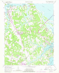
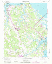
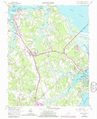
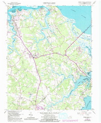
1965 Map of Benns Church
USGS Topo · Published 1980About this map
The hamlets and waterways of Isle of Wight County are captured here in the mid-1960s, a period when the rural landscape of coastal Virginia remained defined by small crossroad communities and tidal creeks. Smithfield stands prominently along the Pagan River, while further inland, the landmark St Lukes Ch (Old Brick Ch) and its adjacent St Lukes Cem provide a focal point for genealogical interest near Benns Church. The eastern edge of the survey is dominated by the marshy expanse of Ragged Island and the approach to the James River Bridge.
Find a feature on this map
69 named features on this map. Tap any name to fly to it.
Don’t see what you’re looking for? This feature index may not catch every label — zoom into the map to look around manually.
Map Details
Editions of this 1965 Benns Church Map
7 editions found
Other maps of this area

1907 · Norfolk
USGS Topo · 1:125,000

1907 · Yorktown
USGS Topo · 1:62,500

1907 · Hampton
USGS Topo · 1:62,500

1919 · Smithfield
USGS Topo · 1:62,500

1921 · Newport News
USGS Topo · 1:62,500

1943 · Yorktown
USGS Topo · 1:62,500

1943 · Richmond
USGS Topo · 1:250,000

1944 · Windsor
USGS Topo · 1:31,680

1944 · Morrison
USGS Topo · 1:24,000

1944 · Smithfield
USGS Topo · 1:24,000