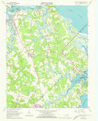
1965 Map of Benns Church
USGS Topo · Published 1973About this map
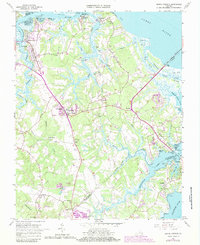
St Lukes Ch (Old Brick Ch) stands as a focal point of this Tidewater landscape, located near the crossroads of Benns Church. The terrain is defined by the intricate waterways of the James River and Pagan River, where numerous creeks like Cypress Creek and Jones Creek carve through the low-lying coastal plain. The map reveals a pattern of rural settlements and religious sites, such as Macedonia Ch and Rising Star Ch, which served the farming and maritime communities of the 1960s. Waterfront activity is evident at Rescue and Battery Park, while the eastern reaches show the preservation of natural marshes around Ragged Island Creek. This survey captures the region just as modern infrastructure began to expand, noted by the presence of a US Military Reservation and industrial features like the Sand and Gravel Pit.
Find a feature on this map
65 named features on this map. Tap any name to fly to it.
Don’t see what you’re looking for? This feature index may not catch every label — zoom into the map to look around manually.
Map Details
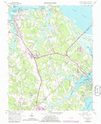
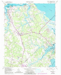
Editions of this 1965 Benns Church Map
7 editions found
Other maps of this area

1907 · Norfolk
USGS Topo · 1:125,000

1907 · Yorktown
USGS Topo · 1:62,500

1907 · Hampton
USGS Topo · 1:62,500

1919 · Smithfield
USGS Topo · 1:62,500

1921 · Newport News
USGS Topo · 1:62,500

1943 · Yorktown
USGS Topo · 1:62,500

1943 · Richmond
USGS Topo · 1:250,000

1944 · Windsor
USGS Topo · 1:31,680

1944 · Morrison
USGS Topo · 1:24,000

1944 · Smithfield
USGS Topo · 1:24,000