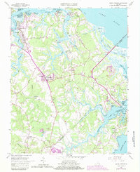
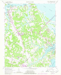
1965 Map of Benns Church
USGS Topo · Published 1984About this map
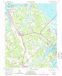
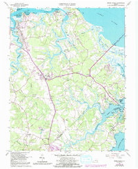
The St Lukes Ch (Old Brick Ch) stands as a focal point of this coastal Virginia landscape, situated near the crossroads of Benns Church. The terrain is defined by the intricate waterways of the Tidewater region, where the Pagan River and James River meet. This mid-1960s survey, with later revisions, shows a network of established settlements like Smithfield, Carrollton, and Battery Park connected by a series of crossings including Fulgham Bridge and Titus Bridge.
Find a feature on this map
66 named features on this map. Tap any name to fly to it.
Don’t see what you’re looking for? This feature index may not catch every label — zoom into the map to look around manually.
Map Details
Editions of this 1965 Benns Church Map
7 editions found
Other maps of this area

1907 · Norfolk
USGS Topo · 1:125,000

1907 · Yorktown
USGS Topo · 1:62,500

1907 · Hampton
USGS Topo · 1:62,500

1919 · Smithfield
USGS Topo · 1:62,500

1921 · Newport News
USGS Topo · 1:62,500

1943 · Yorktown
USGS Topo · 1:62,500

1943 · Richmond
USGS Topo · 1:250,000

1944 · Windsor
USGS Topo · 1:31,680

1944 · Morrison
USGS Topo · 1:24,000

1944 · Smithfield
USGS Topo · 1:24,000