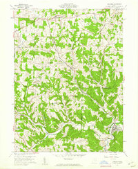
1960 Map of Bergholz
USGS Topo · Published 1961About this map
Bergholz serves as a primary hub of activity in this 1960 landscape, characterized by its location along Yellow Creek and the tracks of the New York Central Lines. The area is marked by a mix of established rural communities and active extraction, with numerous Strip Mine operations scattered across the eastern sections of the quadrangle. Local life is centered around institutions such as Springfield High Sch and the Scroggsfield Ch, while the undulating terrain of Chestnut Ridge and Rainy Ridge dictates the winding paths of the road network.
Find a feature on this map
43 named features on this map. Tap any name to fly to it.
Don’t see what you’re looking for? This feature index may not catch every label — zoom into the map to look around manually.
Map Details
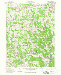
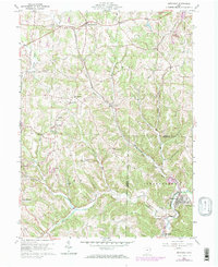
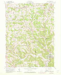
Editions of this 1960 Bergholz Map
4 editions found
Other maps of this area

1901 · Cadiz
USGS Topo · 1:62,500

1902 · Scio
USGS Topo · 1:62,500

1903 · Cadiz
USGS Topo · 1:62,500

1904 · Scio
USGS Topo · 1:62,500

1905 · Salineville
USGS Topo · 1:62,500

1910 · Carrollton
USGS Topo · 1:62,500

1912 · Carrollton
USGS Topo · 1:62,500

1951 · Canton
USGS Topo · 1:250,000

1953 · Canton
USGS Topo · 1:250,000

1957 · Canton
USGS Topo · 1:250,000