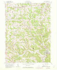
1960 Map of Bergholz
USGS Topo · Published 1972About this map
Bergholz serves as a primary hub of activity in this 1960s landscape, where the confluence of Elkhorn Creek and Center Run meets the Penn Central rail line. The terrain is characterized by a series of prominent ridges, including Chestnut Ridge and Watson Ridge, which dictate the winding paths of rural roads and the location of isolated community centers like Mechanicstown and Wattsville. Throughout the hills of Washington and Fox townships, the landscape is marked by numerous Strip Mine operations, indicating the heavy influence of the coal industry on the local geography.
Find a feature on this map
39 named features on this map. Tap any name to fly to it.
Don’t see what you’re looking for? This feature index may not catch every label — zoom into the map to look around manually.
Map Details
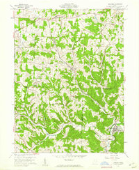
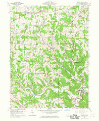
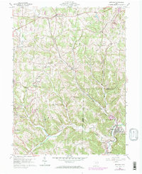
Editions of this 1960 Bergholz Map
4 editions found
Other maps of this area

1901 · Cadiz
USGS Topo · 1:62,500

1902 · Scio
USGS Topo · 1:62,500

1903 · Cadiz
USGS Topo · 1:62,500

1904 · Scio
USGS Topo · 1:62,500

1905 · Salineville
USGS Topo · 1:62,500

1910 · Carrollton
USGS Topo · 1:62,500

1912 · Carrollton
USGS Topo · 1:62,500

1951 · Canton
USGS Topo · 1:250,000

1953 · Canton
USGS Topo · 1:250,000

1957 · Canton
USGS Topo · 1:250,000