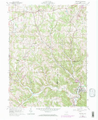
1960 Map of Bergholz
USGS Topo · Published 1972About this map
Mechanicstown and Bergholz anchor this topographic view of the eastern Ohio hills, where industrial activity and rural life converged in the mid-20th century. The landscape is defined by the winding course of Yellow Creek and numerous tributaries like Friday Creek and Elkhorn Creek. The map documents a significant era of coal extraction, with numerous Strip Mine operations concentrated in the northeast and southeast corners, illustrating the heavy footprint of surface mining on the local terrain. Infrastructure for both transport and communication is evident through the Penn Central railroad lines and the Radio Range Station located in the township of Lee. Local history is preserved in small landmarks such as Scroggsfield Ch and several family burying grounds, including Snyder Cem and Palmer Cem, while the location of Willis Sch marks the educational centers of this dispersed community.
Find a feature on this map
39 named features on this map. Tap any name to fly to it.
Don’t see what you’re looking for? This feature index may not catch every label — zoom into the map to look around manually.
Map Details
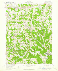
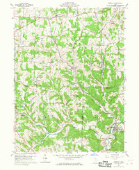
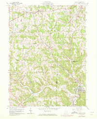
Editions of this 1960 Bergholz Map
4 editions found
Other maps of this area

1901 · Cadiz
USGS Topo · 1:62,500

1902 · Scio
USGS Topo · 1:62,500

1903 · Cadiz
USGS Topo · 1:62,500

1904 · Scio
USGS Topo · 1:62,500

1905 · Salineville
USGS Topo · 1:62,500

1910 · Carrollton
USGS Topo · 1:62,500

1912 · Carrollton
USGS Topo · 1:62,500

1951 · Canton
USGS Topo · 1:250,000

1953 · Canton
USGS Topo · 1:250,000

1957 · Canton
USGS Topo · 1:250,000