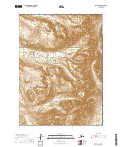
2019 Map of Bethel A-2 NW
USGS Topo · Published 2019About this map
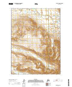
Crooked Mtn rises as a prominent landmark in this interior Alaskan landscape, which straddles the boundary between the Bethel Census Area and the Dillingham Census Area. The terrain is defined by a series of steep drainages and ridges, with the waters of Akoswiit Cr and Little Swift Cr carving through the high country. This survey illustrates a largely roadless wilderness at the end of the 2010s, where the landscape is organized by the Public Land Survey System grids of T1N, T2N, and T1S. The map serves as a primary record of the complex hydrography and elevation contours that dictate movement through this remote region.
Find a feature on this map
10 named features on this map. Tap any name to fly to it.
Don’t see what you’re looking for? This feature index may not catch every label — zoom into the map to look around manually.
Map Details
Editions of this 2019 Bethel A-2 NW Map
This is the sole edition of this map. No revisions or reprints were ever made.
Other maps of this area

1950 · Bethel
USGS Topo · 1:250,000

1954 · Bethel B-3
USGS Topo · 1:63,360

1979 · Bethel A-3
USGS Topo · 1:63,360

1979 · Bethel A-2
USGS Topo · 1:63,360

1979 · Bethel B-2
USGS Topo · 1:63,360

1980 · Bethel
USGS Topo · 1:250,000
2019 · Bethel A-3 NE
USGS Topo · 1:25,000
2019 · Bethel A-3 SE
USGS Topo · 1:25,000
2019 · Bethel B-3 SE
USGS Topo · 1:25,000
2019 · Bethel B-2 SW
USGS Topo · 1:25,000