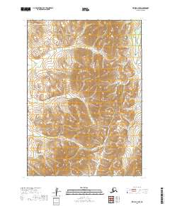
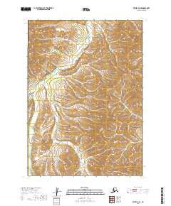
2019 Map of Bethel C-3 NW
USGS Topo · Published 2019About this map
Nukluk Cr and Karl Cr carve through this unpopulated expanse of the Bethel Census Area in the Kuskokwim River region. This 2019 survey captures a landscape defined by sharp elevation shifts and an intricate network of drainages, where Clear Cr flows across the southern townships. The map details the legal land partitions of T8N R62W and T7N R61W, illustrating a wilderness devoid of permanent structures or roads. The absence of human-made infrastructure highlights the natural drainage patterns that dominate this part of Southwest Alaska, providing a baseline for environmental studies or backcountry navigation in the northern reaches of the Yukon Delta area.
Find a feature on this map
9 named features on this map. Tap any name to fly to it.
Don’t see what you’re looking for? This feature index may not catch every label — zoom into the map to look around manually.
Map Details
Editions of this 2019 Bethel C-3 NW Map
This is the sole edition of this map. No revisions or reprints were ever made.
Other maps of this area

1950 · Bethel
USGS Topo · 1:250,000

1954 · Bethel D-4
USGS Topo · 1:63,360

1954 · Bethel C-4
USGS Topo · 1:63,360

1954 · Bethel C-3
USGS Topo · 1:63,360

1954 · Bethel D-3
USGS Topo · 1:63,360

1980 · Bethel
USGS Topo · 1:250,000
2017 · Bethel C-4 SE
USGS Topo · 1:25,000
2017 · Bethel C-4 NE
USGS Topo · 1:25,000
2017 · Bethel D-4 SE
USGS Topo · 1:25,000
2019 · Bethel D-3 SE
USGS Topo · 1:25,000