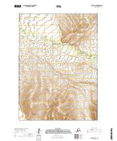
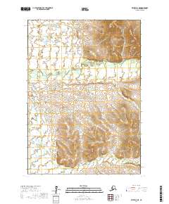
2017 Map of Bethel D-4 SE
USGS Topo · Published 2017About this map
Fog River meanders across the northern half of this landscape, carving a complex network of oxbows and wetlands through the tundra. The terrain is defined by a distinct transition from the low-lying fluvial plains of the northwest to the increasingly prominent elevations in the southeastern quadrant. This 2017 survey by the U.S. Geological Survey details the township boundaries of T9N R62W, T9N R63W, T8N R63W, and T8N R62W, capturing a snapshot of the Alaskan interior where natural drainage patterns remain the primary geographic features. The absence of roads or established settlements emphasizes the remote character of the Bethel Census Area, making this map an essential resource for understanding the hydrological and topographical structure of the region in the early 21st century.
Find a feature on this map
5 named features on this map. Tap any name to fly to it.
Don’t see what you’re looking for? This feature index may not catch every label — zoom into the map to look around manually.
Map Details
Editions of this 2017 Bethel D-4 SE Map
This is the sole edition of this map. No revisions or reprints were ever made.
Other maps of this area

1950 · Bethel
USGS Topo · 1:250,000

1954 · Bethel D-4
USGS Topo · 1:63,360

1954 · Bethel C-4
USGS Topo · 1:63,360

1954 · Bethel C-3
USGS Topo · 1:63,360

1954 · Bethel D-3
USGS Topo · 1:63,360

1980 · Bethel
USGS Topo · 1:250,000
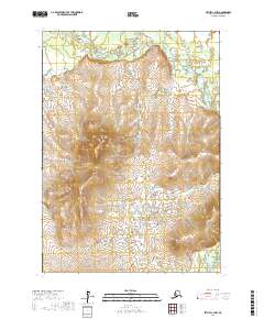
2017 · Bethel C-4 NW
USGS Topo · 1:25,000
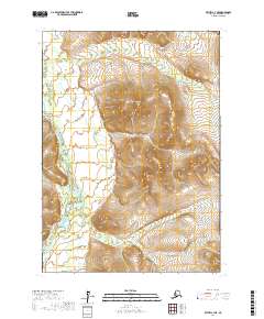
2017 · Bethel C-4 NE
USGS Topo · 1:25,000
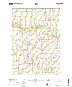
2017 · Bethel D-4 NW
USGS Topo · 1:25,000
2017 · Bethel D-4 NE
USGS Topo · 1:25,000