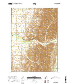
2019 Map of Bethel D-3 SW
USGS Topo · Published 2019About this map
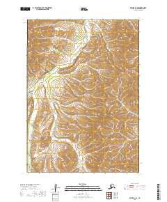
Fog River winds through this interior Alaskan landscape, shaping a drainage system defined by the transition from upland ridges to lowland basins. Surveyed in 2019, the terrain is structured by the Public Land Survey System, which establishes the boundaries of t9n r61w, t9n r60w, t8n r62w, and t8n r61w. In the northeast corner, Otter Cr drains the higher elevations, providing a clear illustration of the area's hydrological pattern before these waters join larger systems beyond the quadrangle. The lack of named settlements or roads emphasizes the isolation of this region within the Bethel Census Area, where the land remains largely defined by its natural watercourses and the geometric lines of federal township grids.
Find a feature on this map
6 named features on this map. Tap any name to fly to it.
Don’t see what you’re looking for? This feature index may not catch every label — zoom into the map to look around manually.
Map Details
Editions of this 2019 Bethel D-3 SW Map
This is the sole edition of this map. No revisions or reprints were ever made.
Other maps of this area

1950 · Bethel
USGS Topo · 1:250,000

1954 · Bethel D-4
USGS Topo · 1:63,360

1954 · Bethel C-4
USGS Topo · 1:63,360

1954 · Bethel C-3
USGS Topo · 1:63,360

1954 · Bethel D-3
USGS Topo · 1:63,360

1980 · Bethel
USGS Topo · 1:250,000
2017 · Bethel C-4 NE
USGS Topo · 1:25,000
2017 · Bethel D-4 NE
USGS Topo · 1:25,000
2017 · Bethel D-4 SE
USGS Topo · 1:25,000
2019 · Bethel D-3 SE
USGS Topo · 1:25,000