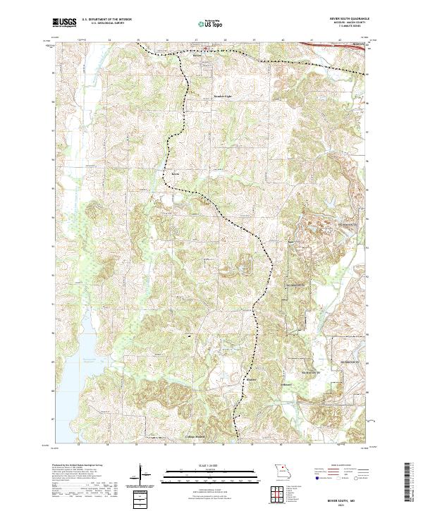
2021 Map of Bevier South
USGS Topo · Published 2021About this map
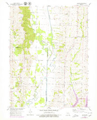
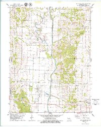
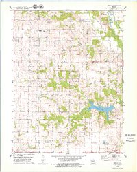
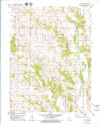
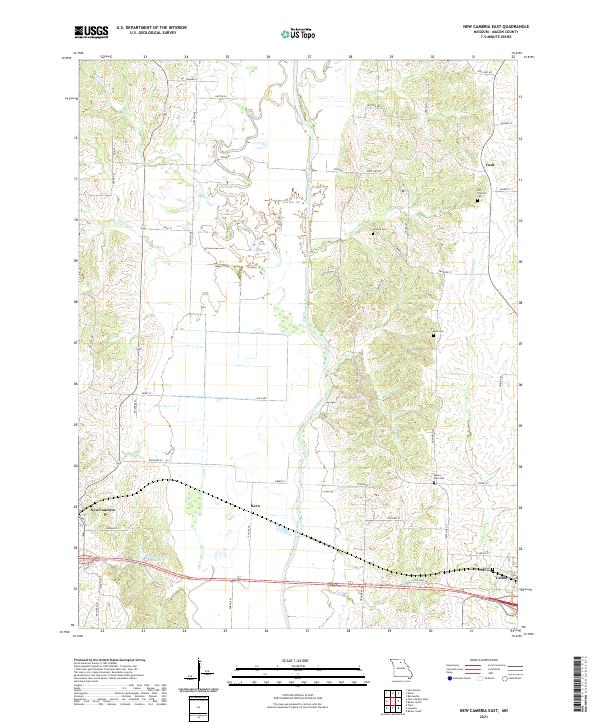
Bevier sits at the northern edge of this Missouri landscape, where the local road network fans out into the rural terrain of Macon County. The topography is defined by the winding paths of the Middle Fork Little Chariton River and the E Fork Little Chariton River, which frame several small, distinct communities including Number Eight, Keota, and College Mound. In the southwest corner, the waters of the Thomas Hill Reservoir extend into the frame, contrasting with the narrow valleys of tributary streams like S Fork Claybank Cr. Genealogists and local historians will find value in the location of Union Cem, while the arrangement of settlements such as Binkley and Ardmore reflects the historically scattered residential patterns of this agricultural and resource-rich region.
Find a feature on this map
42 named features on this map. Tap any name to fly to it.
Don’t see what you’re looking for? This feature index may not catch every label — zoom into the map to look around manually.
Map Details
Editions of this 2021 Bevier South Map
This is the sole edition of this map. No revisions or reprints were ever made.
Historical Maps of Ardmore Through Time
20 maps found
1950 New Cambria West
Macon County, MO
1951 New Boston
Macon County, MO
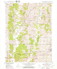
1953 Bevier South
Macon County, MO
1953 Lagonda
Macon County, MO
1979 Axtell
Macon County, MO
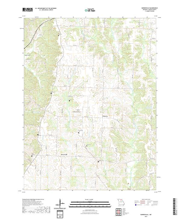
1979 Barnesville
Macon County, MO
1979 Bevier North
Macon County, MO
1979 New Cambria East
Macon County, MO
1979 Redman
Macon County, MO
1979 Sue City
Macon County, MO
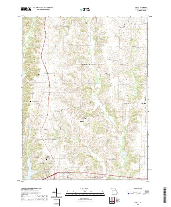
2021 Axtell
Macon County, MO
2021 Barnesville
Macon County, MO
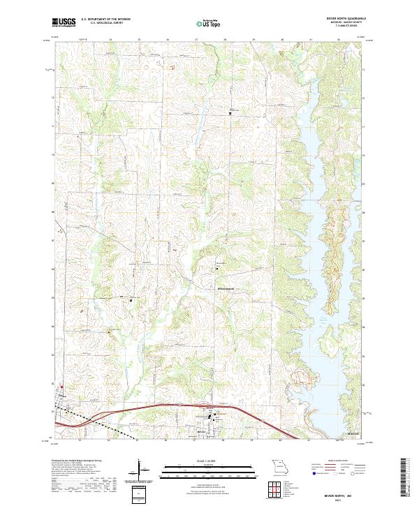
2021 Bevier North
Macon County, MO
2021 Bevier South
Macon County, MO
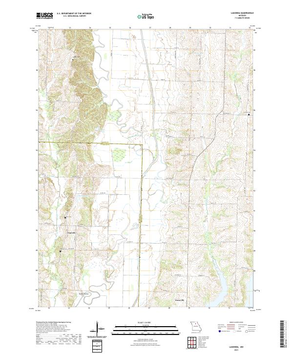
2021 Lagonda
Macon County, MO
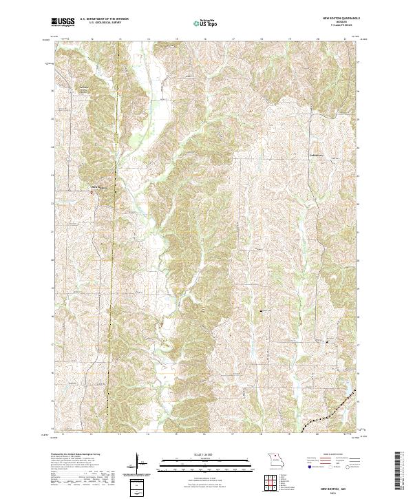
2021 New Boston
Macon County, MO
2021 New Cambria East
Macon County, MO
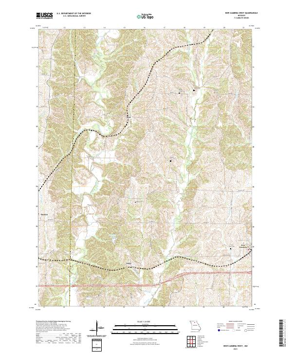
2021 New Cambria West
Macon County, MO
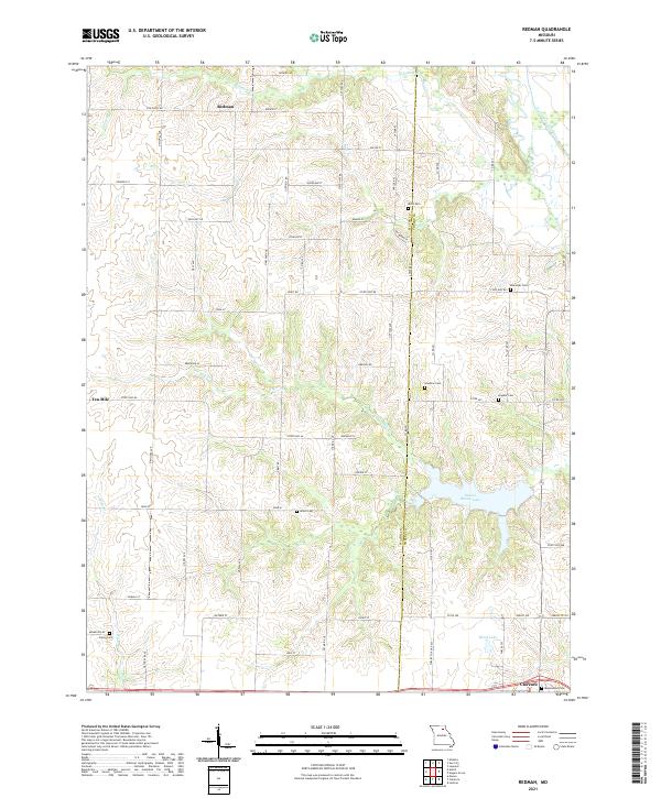
2021 Redman
Macon County, MO
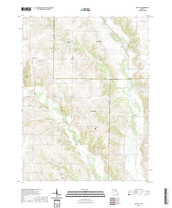
2021 Sue City
Macon County, MO