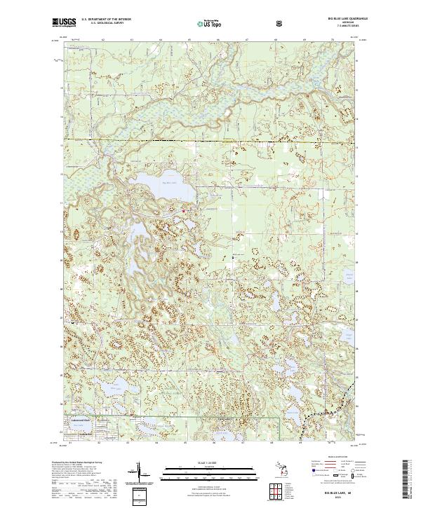
2023 Map of Big Blue Lake
USGS Topo · Published 2023About this map
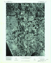
Big Blue Lake and the winding course of the White River dominate this landscape within the Manistee National Forest. The map reveals a dense concentration of glacial kettle lakes and wetlands along the border of Oceana and Muskegon counties, including Britton Lake, Sweet Lake, and Pine Island Lake. To the south, the village of Lakewood Club and the settlement at Twin Lake show the organized residential development of the modern era, while rural landmarks like Blue Lake Cemetery and Ware Cemetery provide important markers for local genealogical research. The complex hydrography of the region is further defined by the North Branch White River and South Branch White River, which intersect with various forest service trails and local routes like Fruitvale Road, illustrating the intersection of conservation land and recreational development.
Find a feature on this map
96 named features on this map. Tap any name to fly to it.
Don’t see what you’re looking for? This feature index may not catch every label — zoom into the map to look around manually.
Map Details
Editions of this 2023 Big Blue Lake Map
This is the sole edition of this map. No revisions or reprints were ever made.
Historical Maps of Dalton Township Through Time
27 maps found
1930 Lake Harbor
Muskegon County, MI
1936 Lake Harbor
Muskegon County, MI
1972 Muskegon East
Muskegon County, MI
1972 Muskegon West
Muskegon County, MI
1972 Sullivan
Muskegon County, MI
1976 Montague NE
Muskegon County, MI
1976 Montague NW
Muskegon County, MI
1976 Montague SE
Muskegon County, MI
1976 Montague SW
Muskegon County, MI

1976 Twin Lake NE
Muskegon County, MI

1976 Twin Lake NW
Muskegon County, MI

1976 Twin Lake SE
Muskegon County, MI

1976 Twin Lake SW
Muskegon County, MI
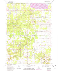
1983 Dalton
Muskegon County, MI
1983 Flower Creek
Muskegon County, MI
1983 Michillinda
Muskegon County, MI
1985 Big Blue Lake
Muskegon County, MI

1985 Holton
Muskegon County, MI
2023 Big Blue Lake
Muskegon County, MI
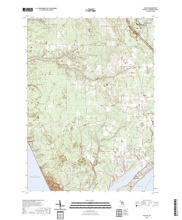
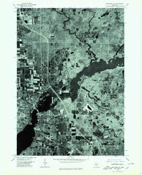
2023 Dalton
Muskegon County, MI
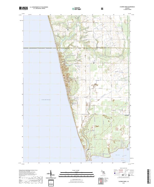
2023 Flower Creek
Muskegon County, MI
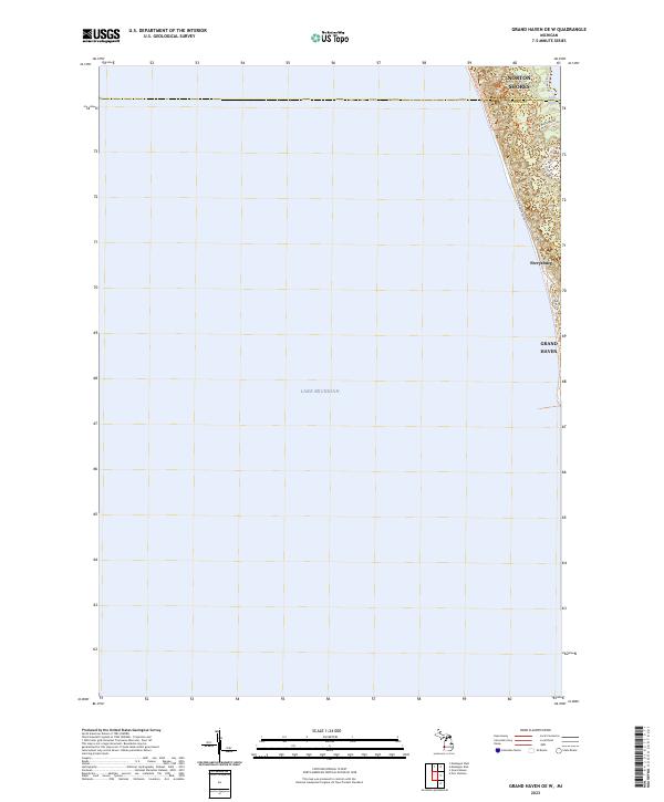
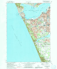
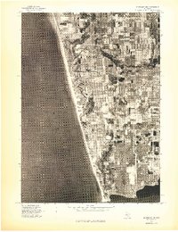
2023 Grand Haven OE W
Muskegon County, MI
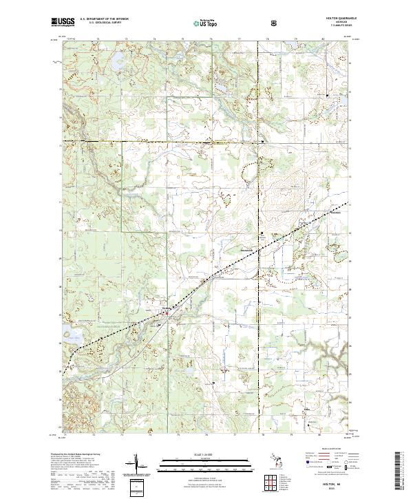
2023 Holton
Muskegon County, MI
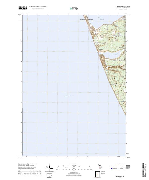
2023 Michillinda
Muskegon County, MI
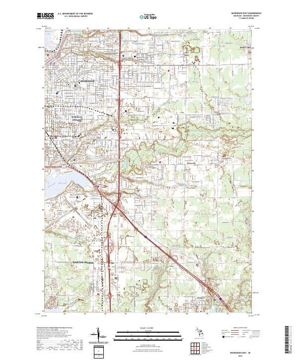
2023 Muskegon East
Muskegon County, MI
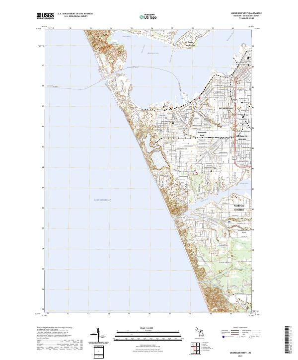
2023 Muskegon West
Muskegon County, MI
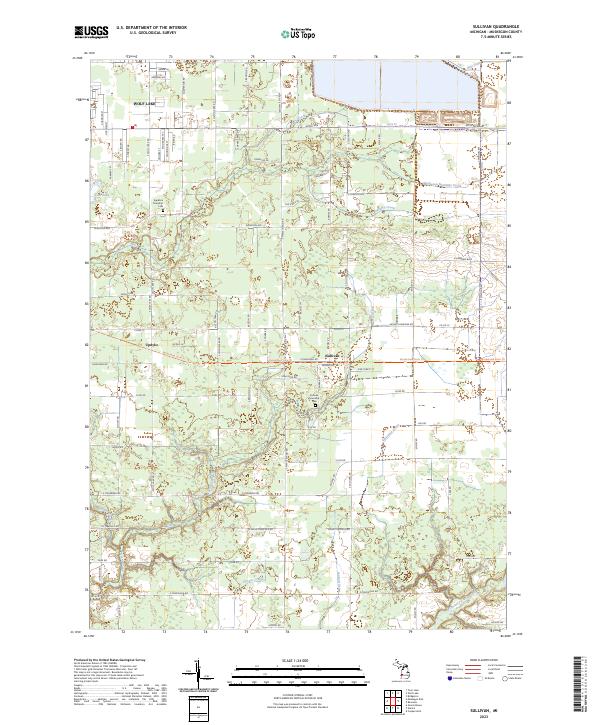
2023 Sullivan
Muskegon County, MI
Featured Locations
- Greenwood Township, MI
- Otto Township, MI
- Blue Lake Township, MI
- Holton Township, MI
- Lakewood Club, Dalton Township