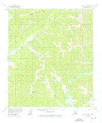
1958 Map of Big Delta B-3
USGS Topo · Published 1975About this map
The Goodpaster River winds through the southeastern portion of this interior Alaska wilderness, serving as a primary drainage for the complex network of creeks that define the landscape. This 1958 field-annotated survey reveals a region largely untouched by permanent settlement, marked instead by the ephemeral infrastructure of the Alaskan interior. A single cabin and a tractor trail provide the only evidence of human habitation near the riverbanks. To the northwest, the boundary of the Fairbanks North Star Borough crosses the high ground where the South Fork Salcha River originates. The terrain is anchored by the Shaw Creek Dome, which overlooks the headwaters of Shaw Creek and Corda Creek, illustrating the raw topography of the region before modern development reached these higher latitudes.
Find a feature on this map
12 named features on this map. Tap any name to fly to it.
Don’t see what you’re looking for? This feature index may not catch every label — zoom into the map to look around manually.
Map Details
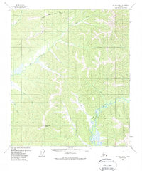
Editions of this 1958 Big Delta B-3 Map
3 editions found

Other maps of this area

1950 · Big Delta
USGS Topo · 1:250,000

1950 · Big Delta A-4
USGS Topo · 1:63,360

1950 · Big Delta B-4
USGS Topo · 1:63,360

1951 · Big Delta
USGS Topo · 1:250,000

1952 · Big Delta A-4
USGS Topo · 1:63,360

1953 · Big Delta B-4
USGS Topo · 1:63,360

1954 · Big Delta A-2
USGS Topo · 1:63,360

1955 · Big Delta A-3
USGS Topo · 1:63,360

1955 · Big Delta A-2
USGS Topo · 1:63,360

1958 · Big Delta C-4
USGS Topo · 1:63,360